


LEGAL AND ACCOUNTING QUESTIONS?


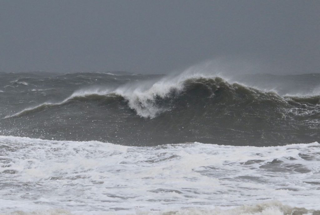
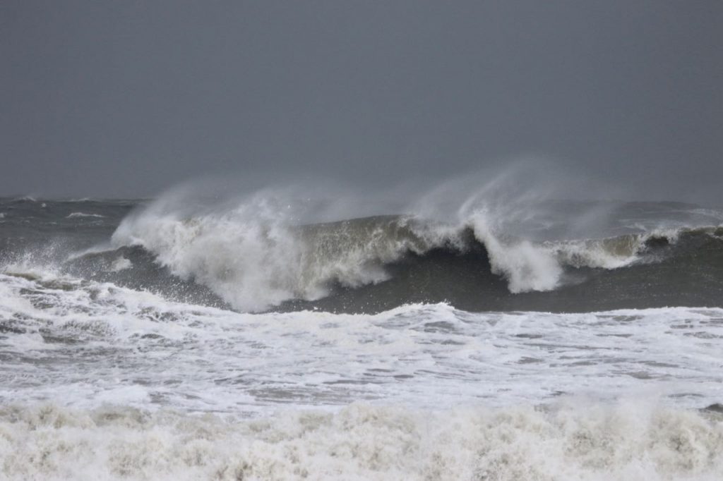
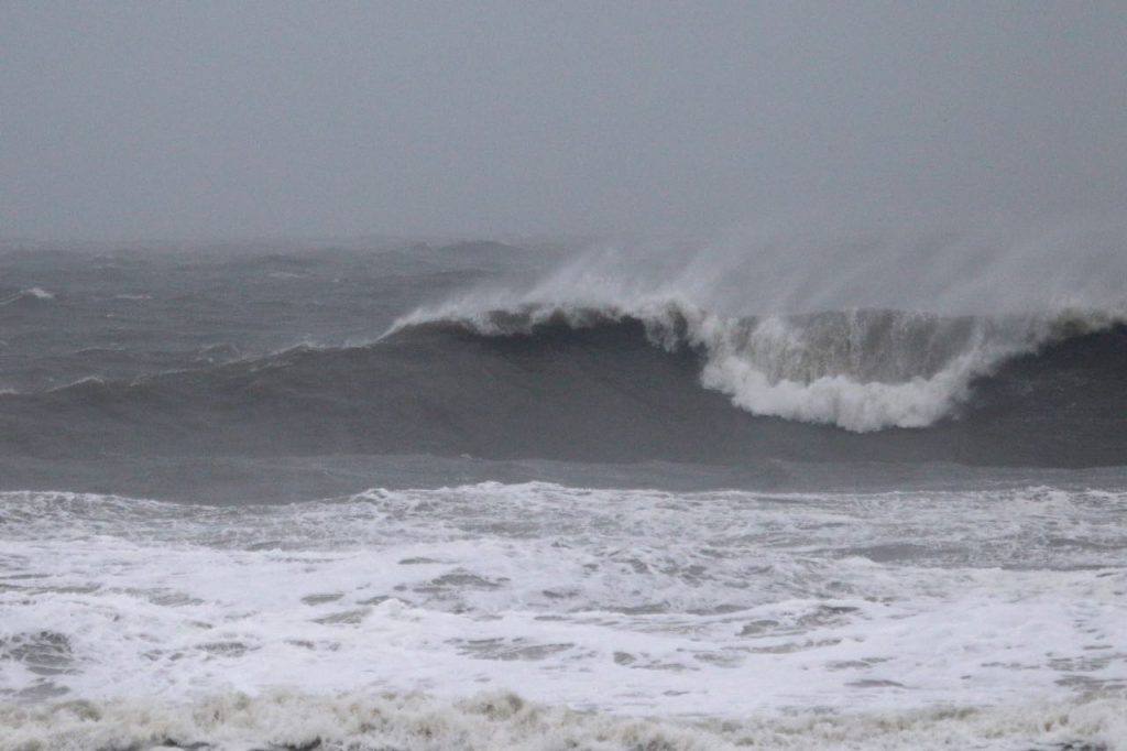
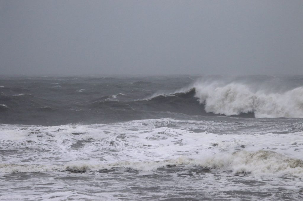
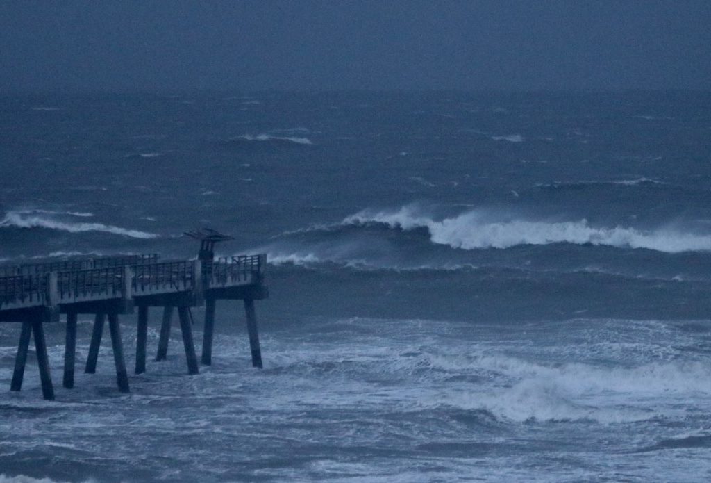
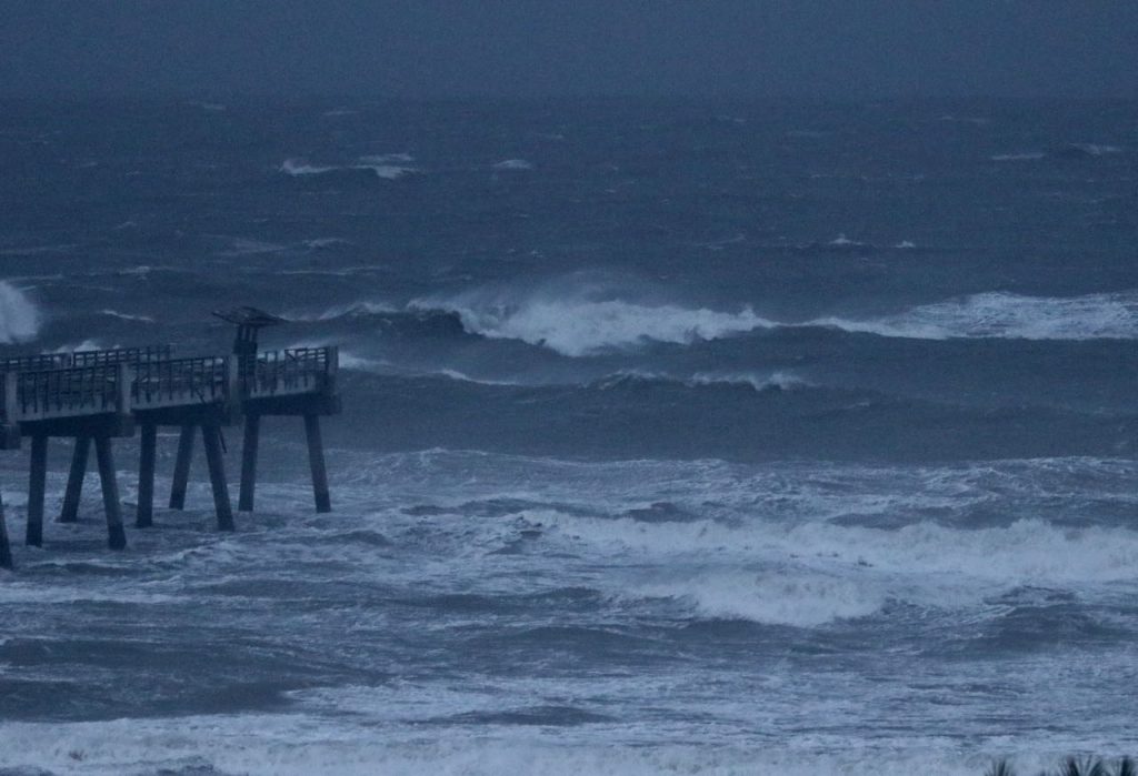
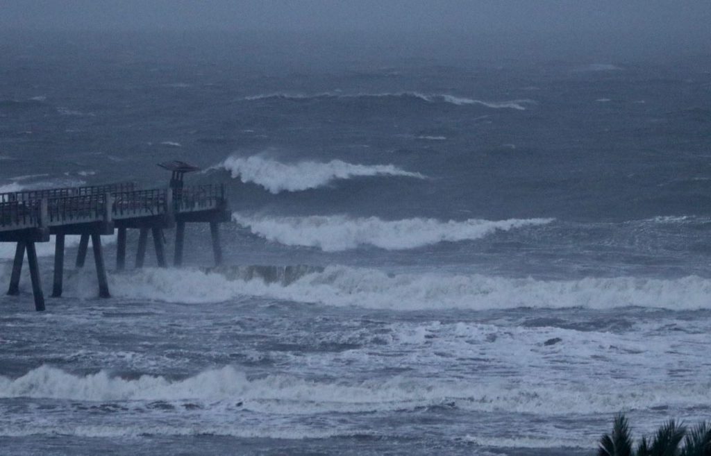
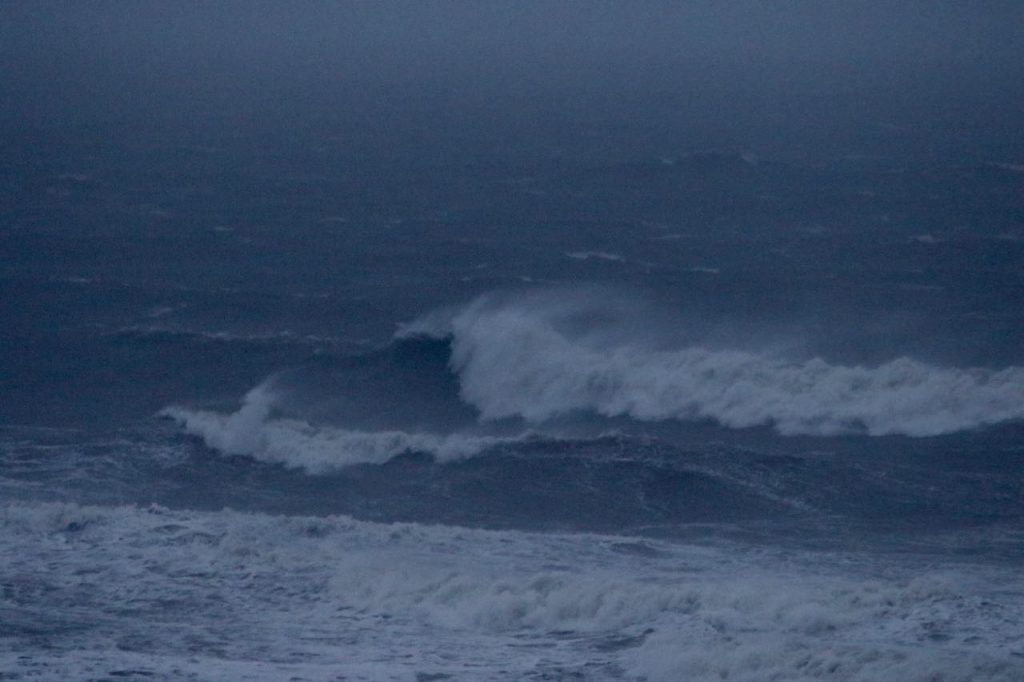
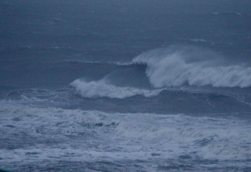
Report #3 – Wednesday – 1:00 PM – RATING 2 of 10
Today’s Tides
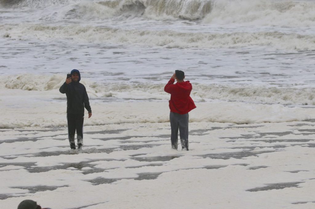
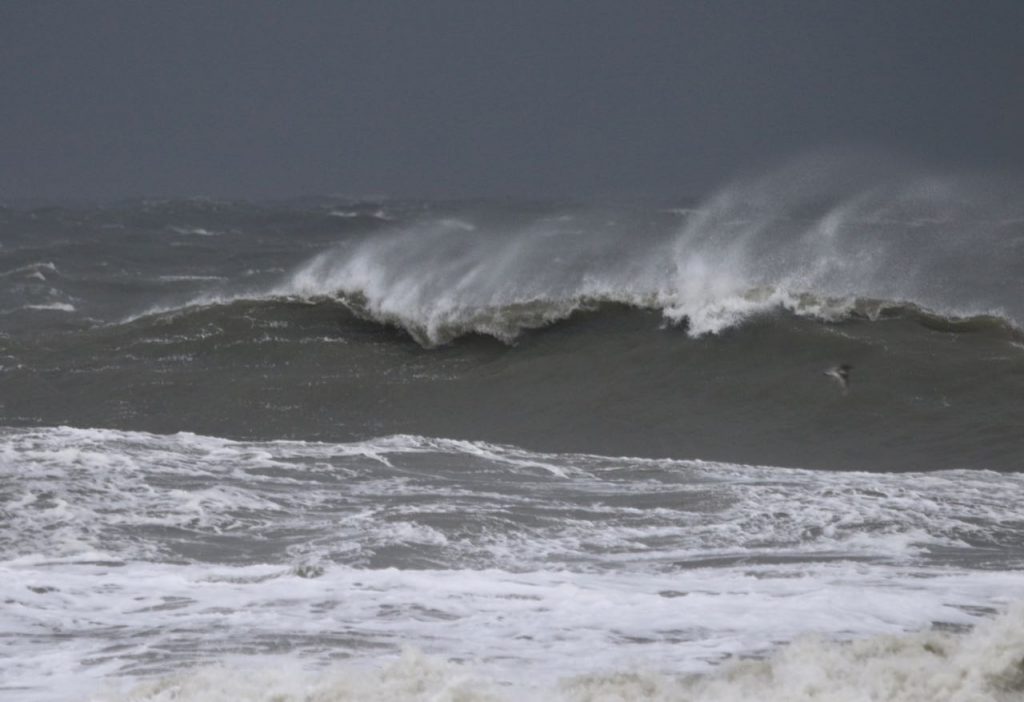
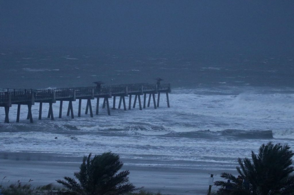
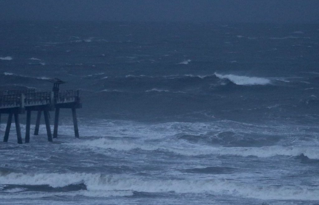
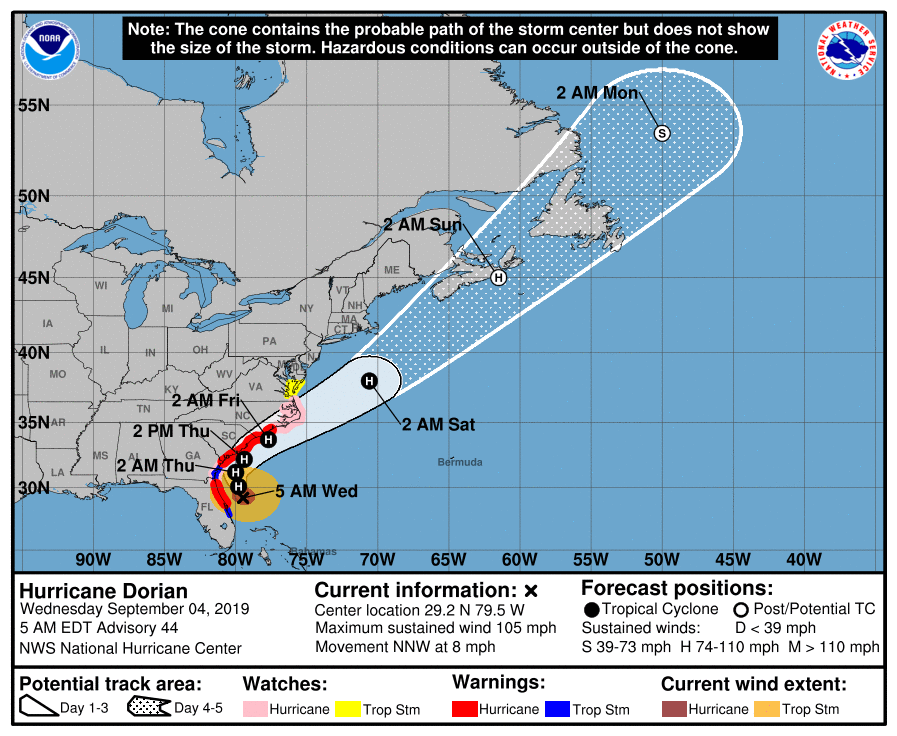
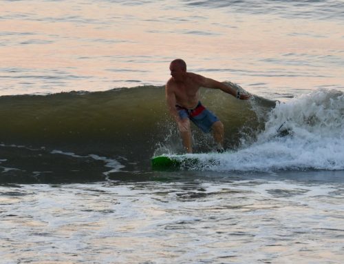
5:37 AM low -0.6 ft. 11:56 AM high 6.4 ft. 6:14 PM low -0.1 ft. First of all, it’s not a day for surfing! But the waves look to be in the head high + + + range and blownout with very strong NNW winds. Be safe and tune into your local weather authorities for the latest warnings concerning Hurricane Dorian.
-
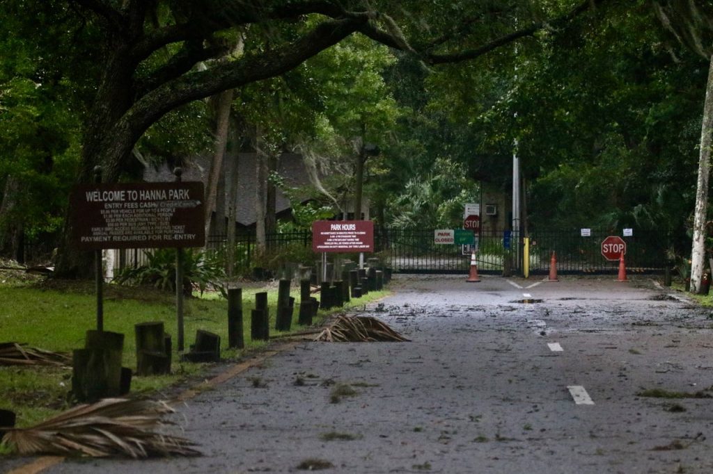
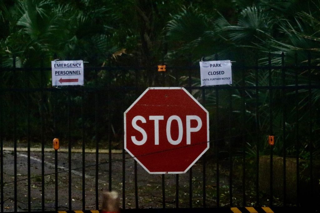
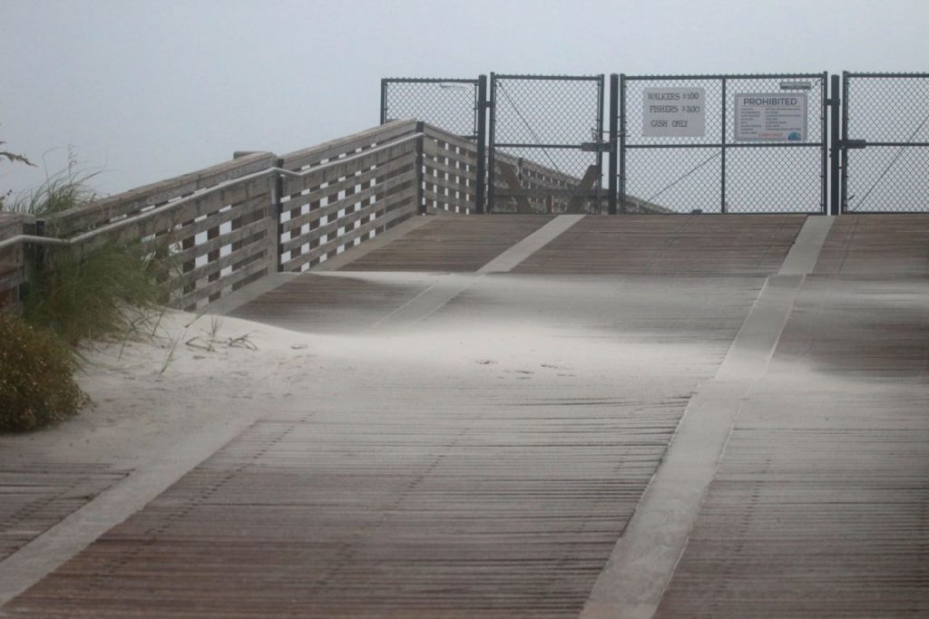
- As expected, Hanna Park is still closed.
-
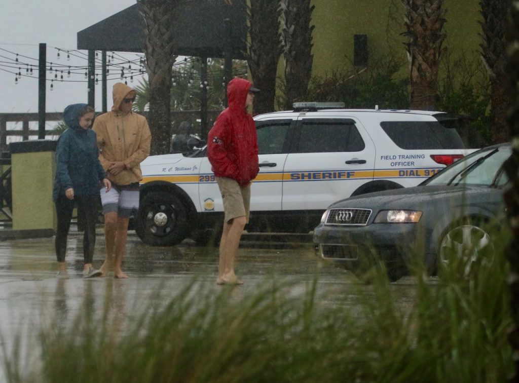
- Authorities state, DO NOT go into the ocean!

-
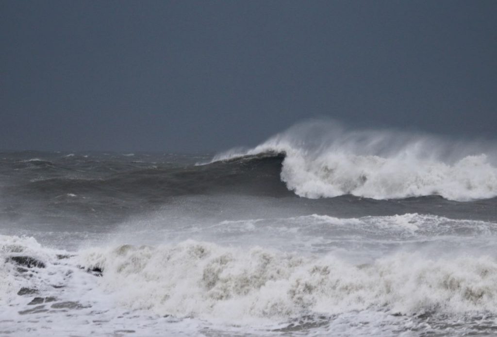
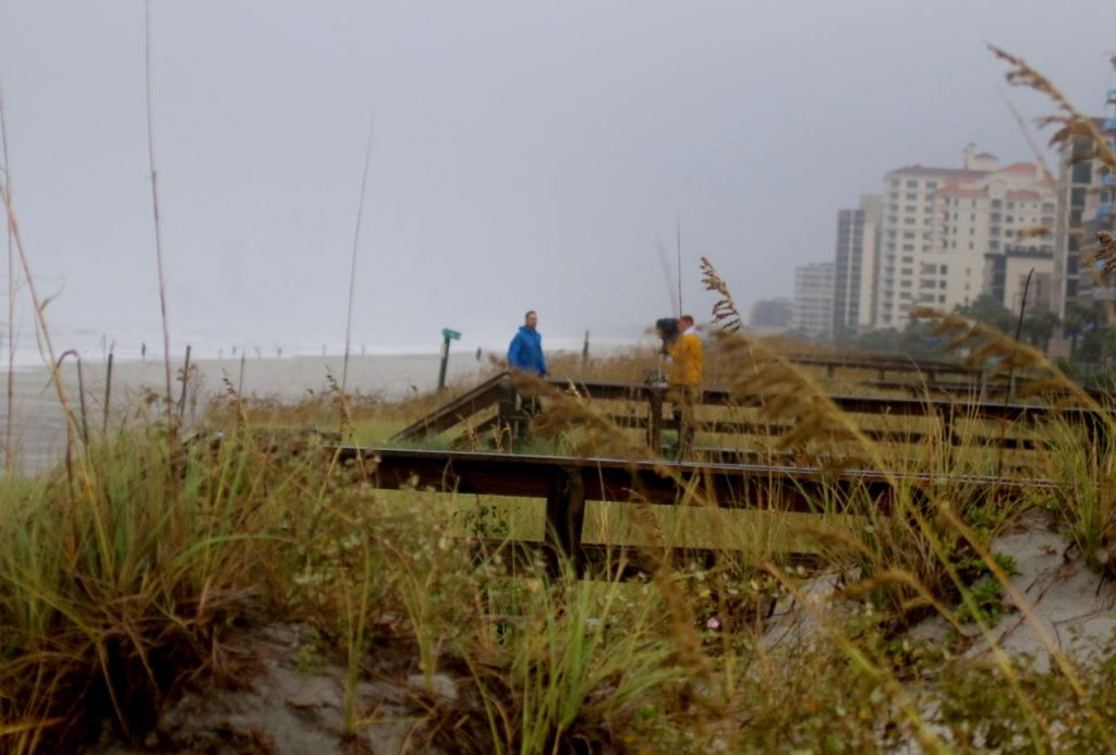
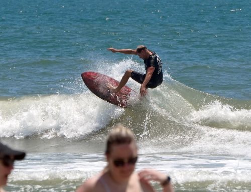
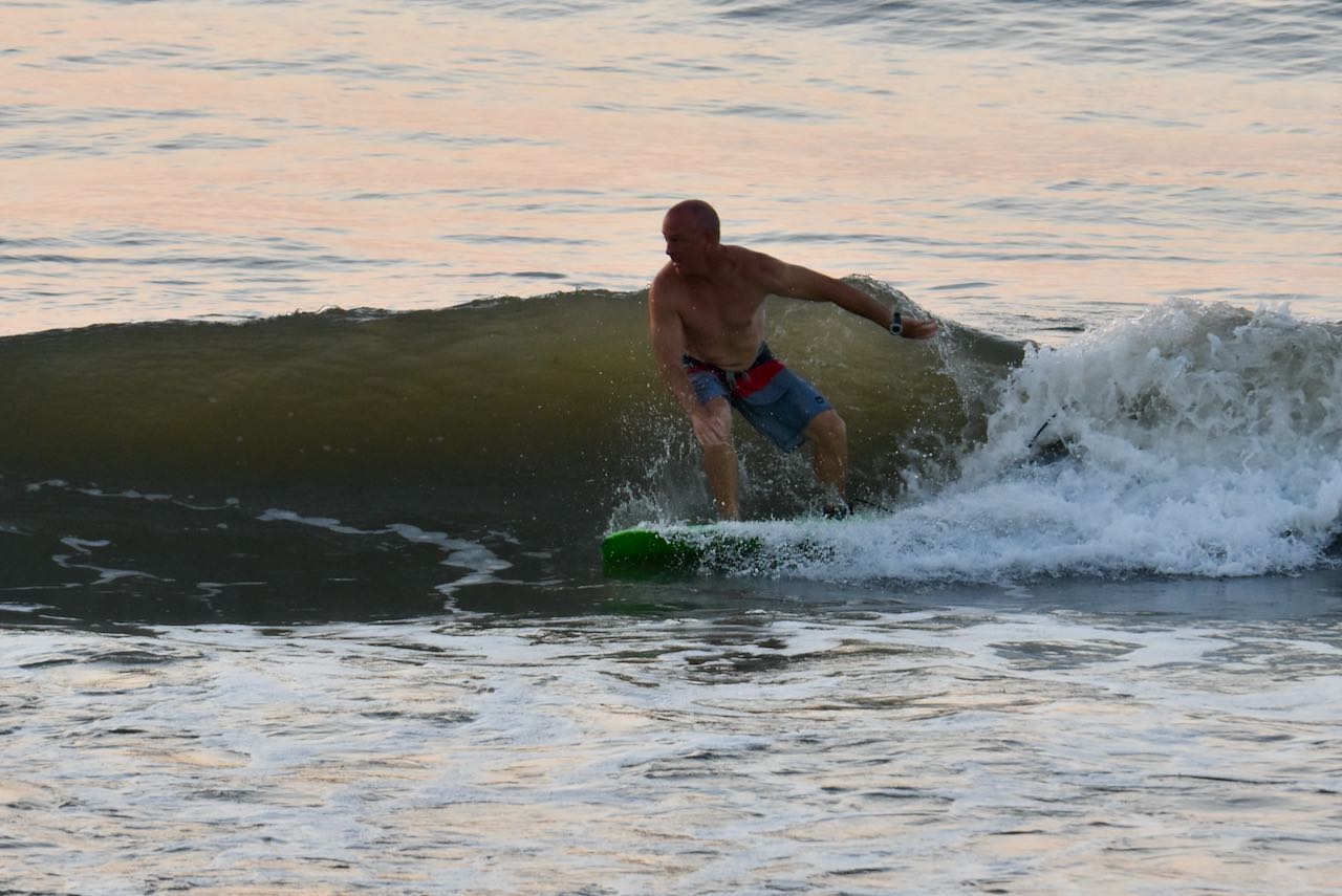
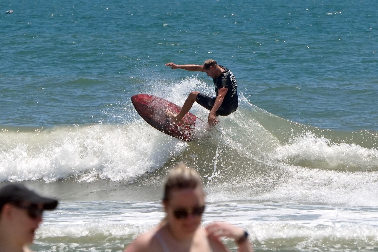
- Head High +++?
-
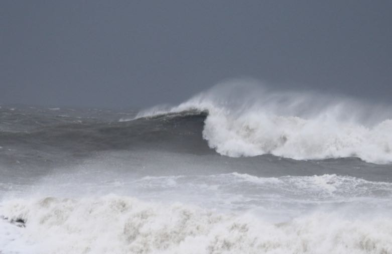
- Rights trying to open up!
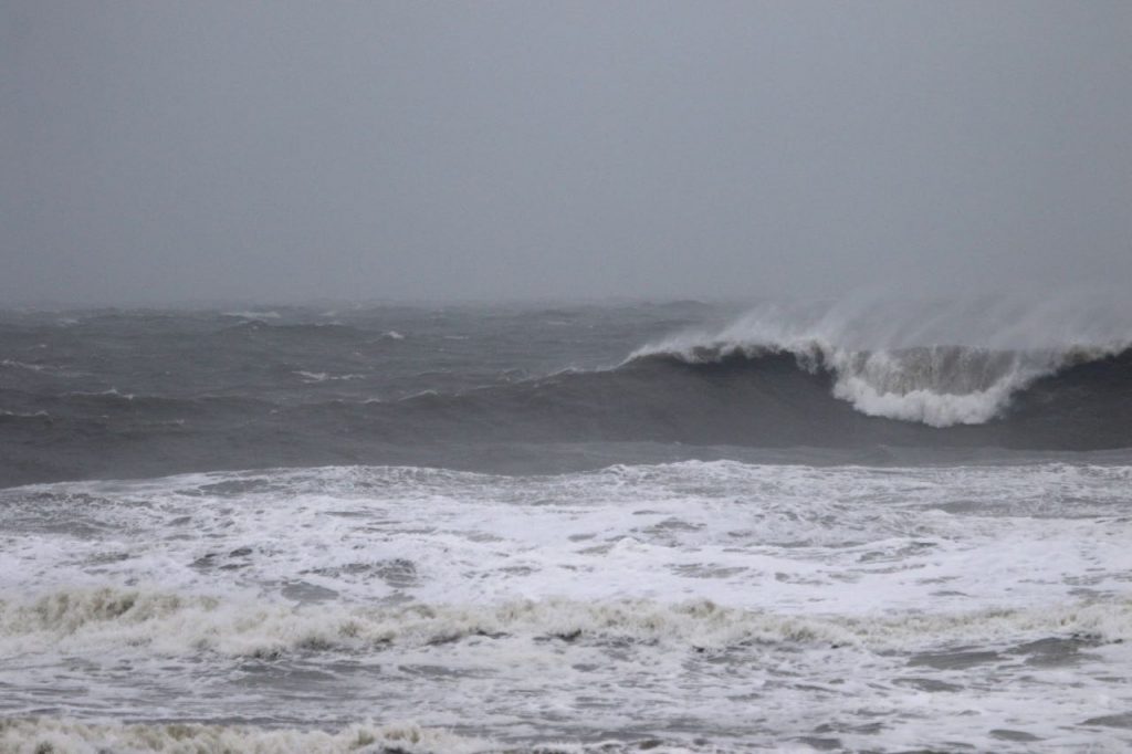
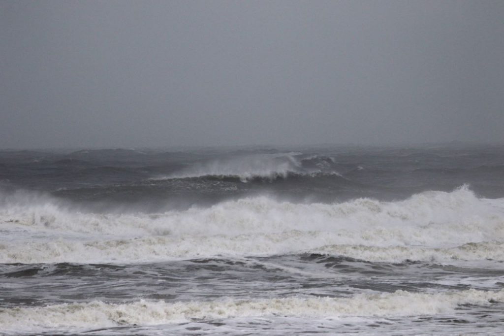
Report #2 – Wednesday – 9:00 AM – RATING 2 of 10
Today’s Tides
5:37 AM low -0.6 ft. 11:56 AM high 6.4 ft. 6:14 PM low -0.1 ft. First of all, it’s not a morning for surfing, but it looks to be in the head high + + range and blownout with very strong North winds. Be safe, tune into local weather advisories for the latest warnings for Hurricane Dorian!
-
- Very Strong Northerly winds!
-
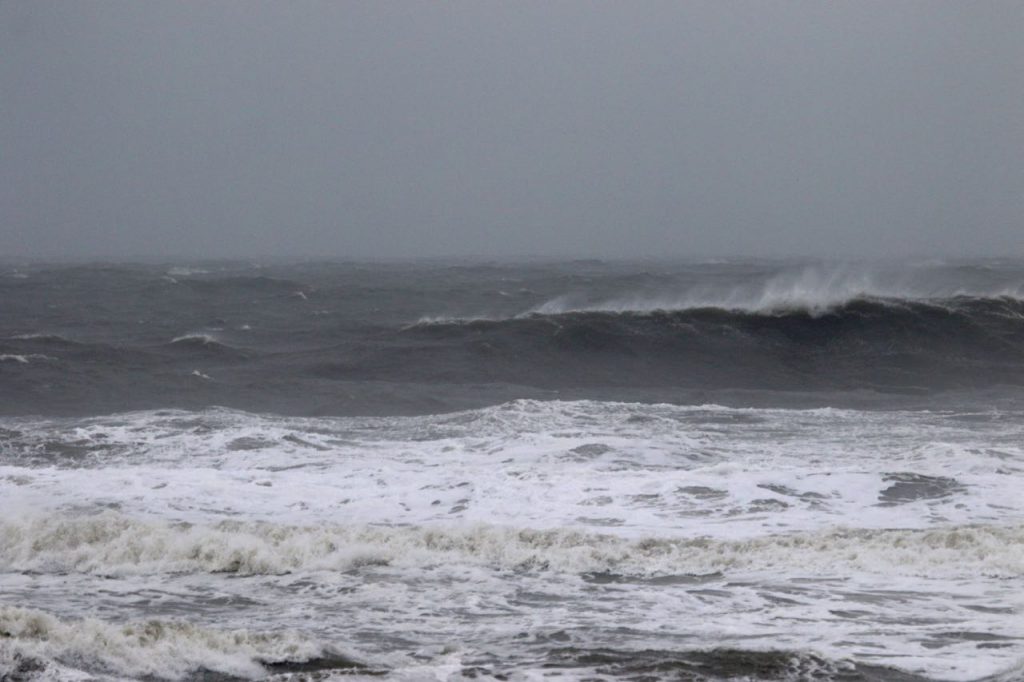
- Chop to the horizon!
-
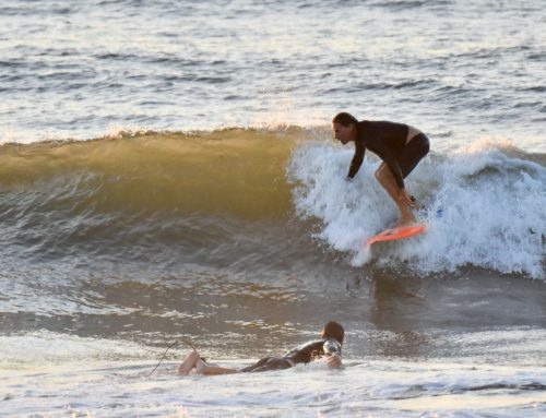
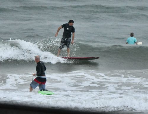
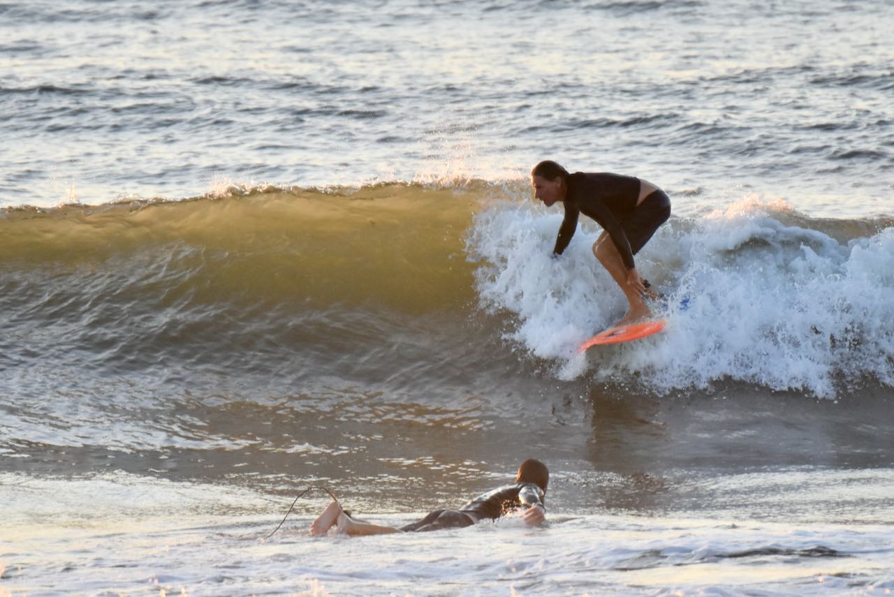
- Rights trying to open up!
-
- Is the Ritz open?
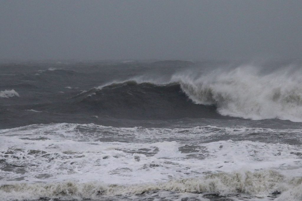
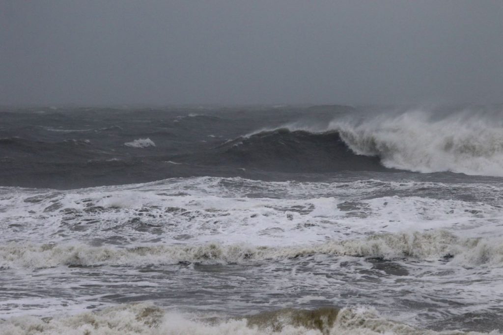
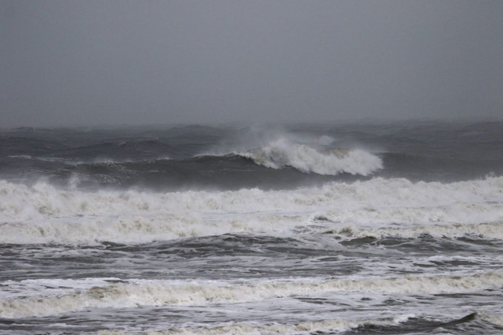
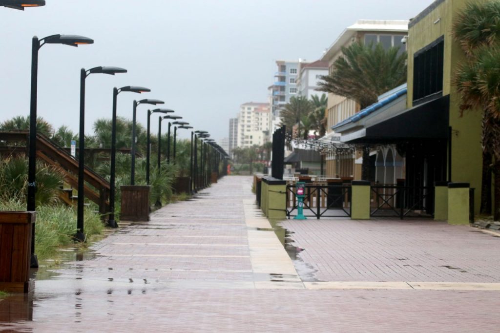
Report #1 – Wednesday – 6:55 AM – RATING 2 of 10
Today’s Tides
5:37 AM low -0.6 ft. 11:56 AM high 6.4 ft. 6:14 PM low -0.1 ft. Keep an eye on Hurricane Dorian and follow advisories from our local officials. First of all, it’s not a morning for surfing, but it looks to be in the head high + + range and blownout with very strong North winds. Be safe, tune into local weather advisories for the latest updates concerning Hurricane Dorian’s watches or warnings!
-

- Empty streets 6:40 AM
-
- Sunrise 7:02 AM
-
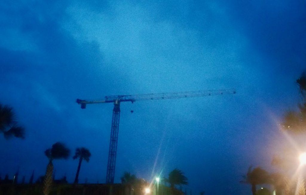
- Strong North winds!
-
- High winds from Hurricane Dorian
-
- Winds becoming Westerly by late today.
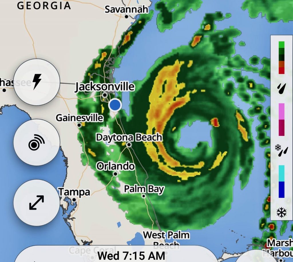
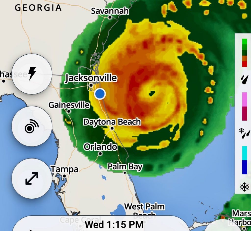
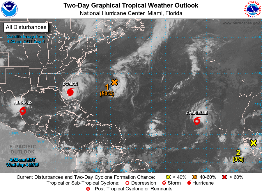
IN THE TROPICS
Peak Season is here, and the Tropics are alive with potential Storms popping up all over the Atlantic and GOMEX Basins. The Peak should last for the next 4 weeks during the month of September although Tropical Storm Events can happen through the month of October, [like Hurricane Sandy 10.28.2012].
Hurricane Dorian is a dangerous and unpredictable storm.
Be safe and stay tuned to Weather Authorities for current information and Hurricane warnings! Click Image below for most current Tropical Weather Outlook.


T-Shirts, Stickers, & More!


