LEGAL QUESTIONS? ASK AN ATTORNEY
Report #2 – Tuesday – 9:00 AM – RATING 4 of 10
Today’s Tides
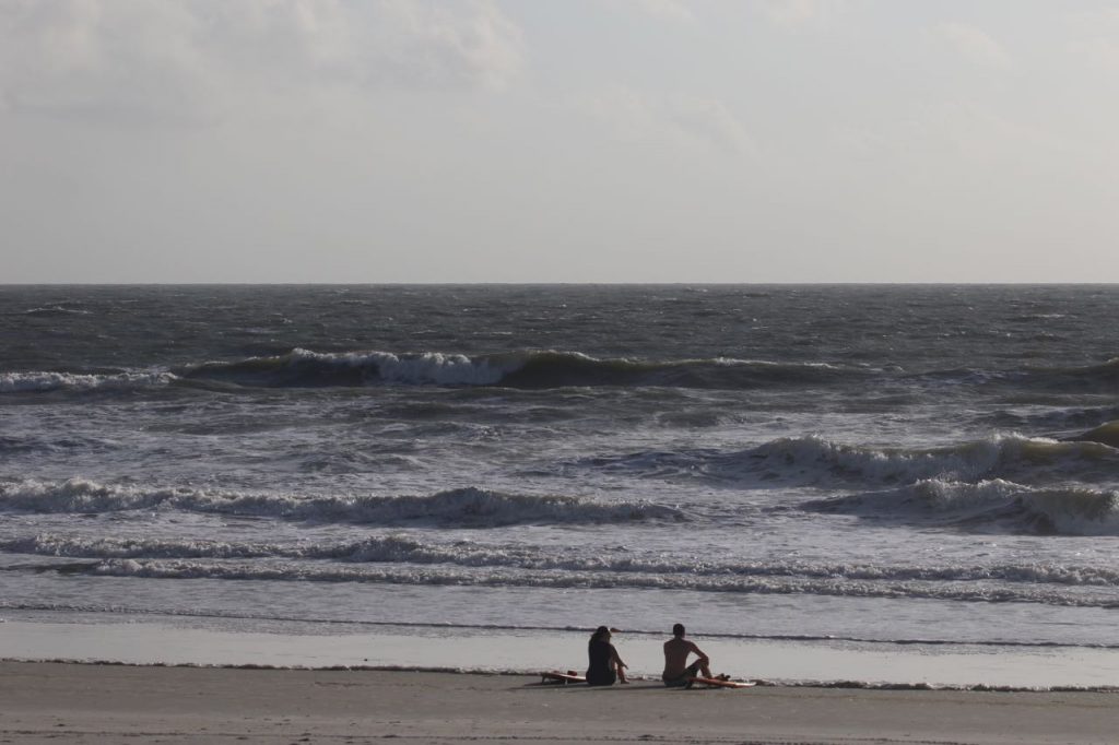
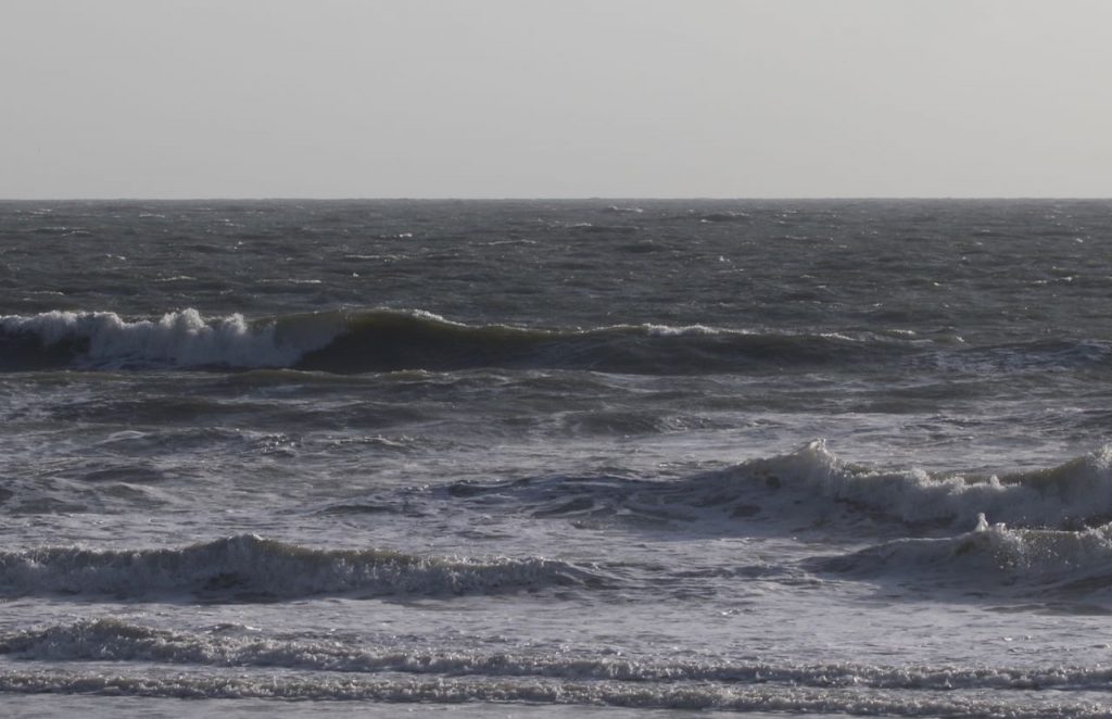
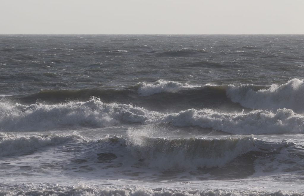
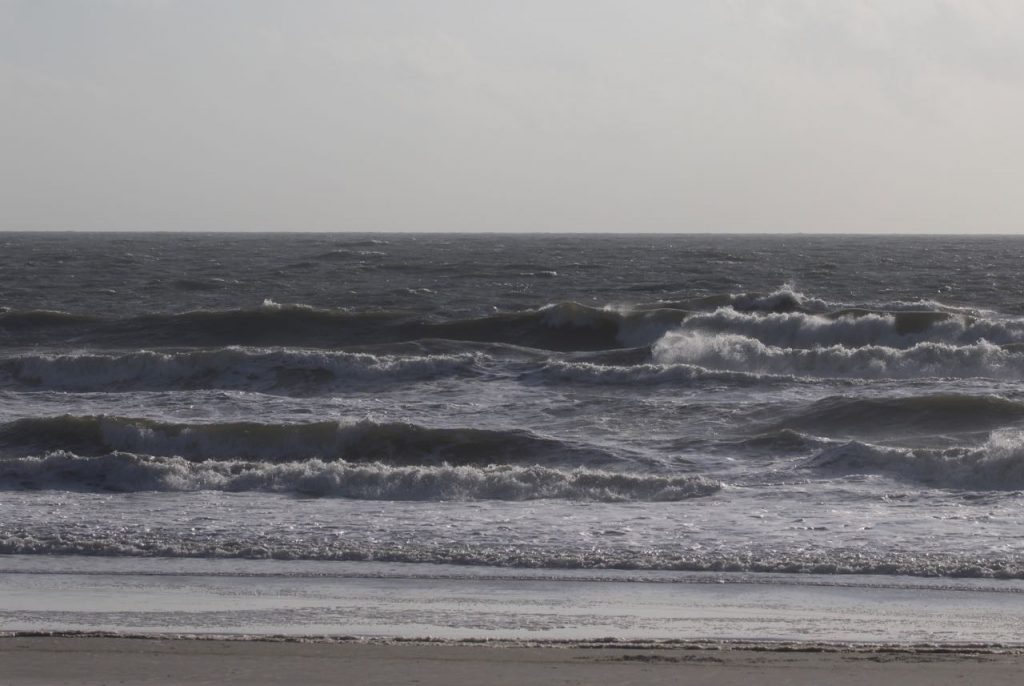
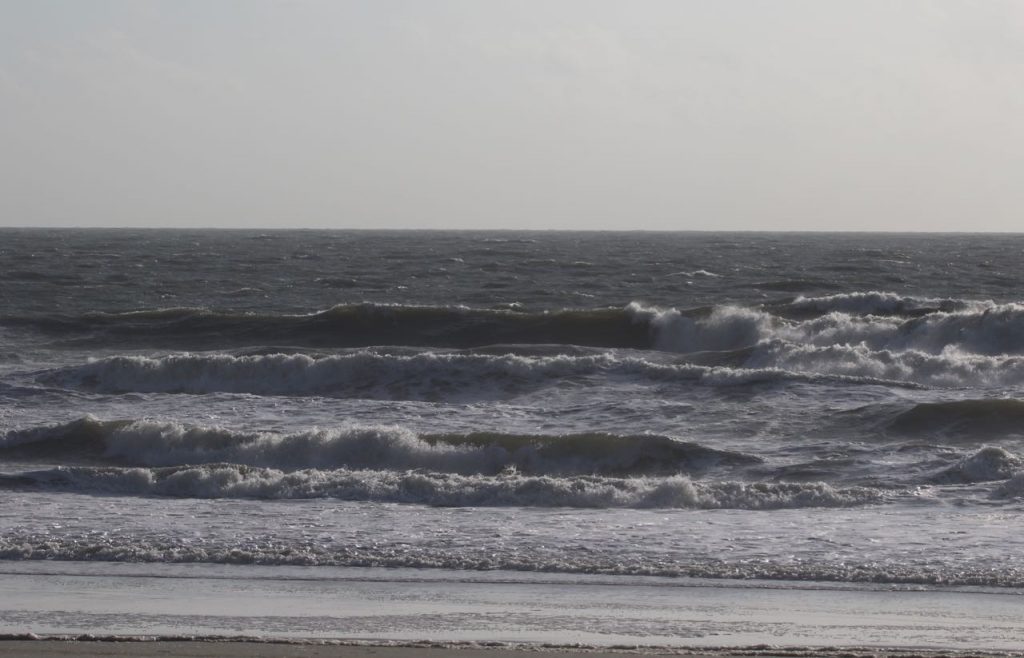
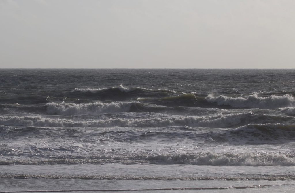
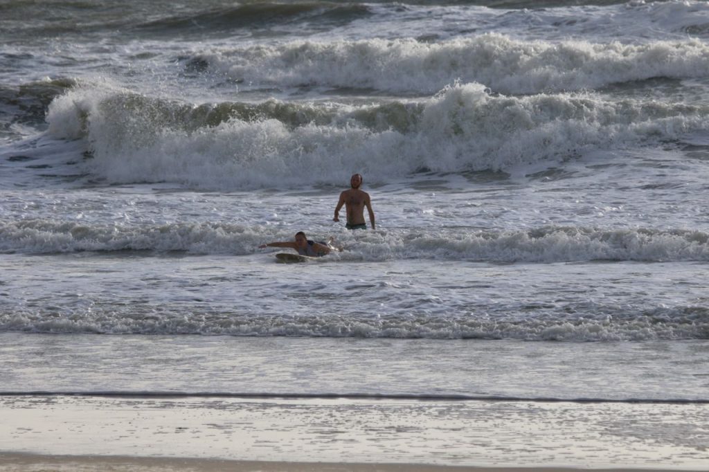
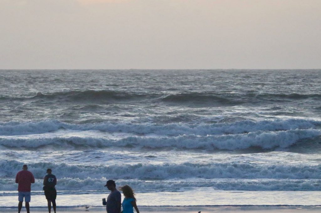
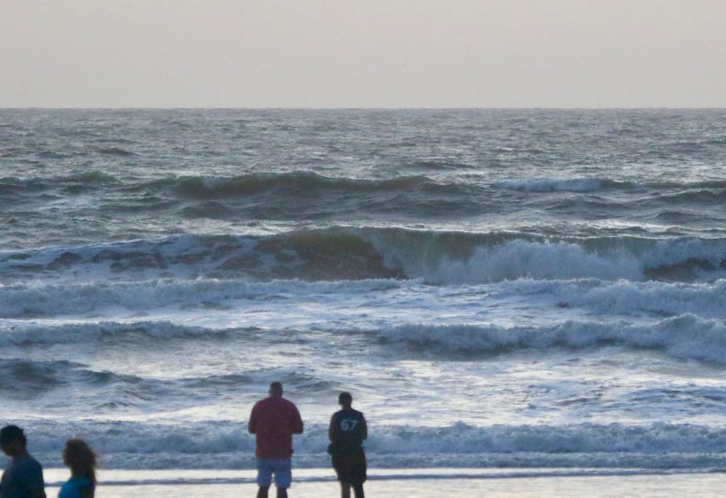
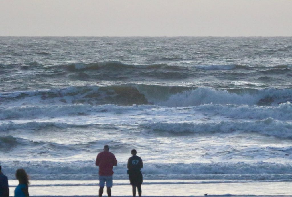
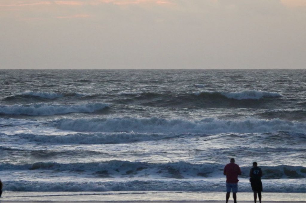
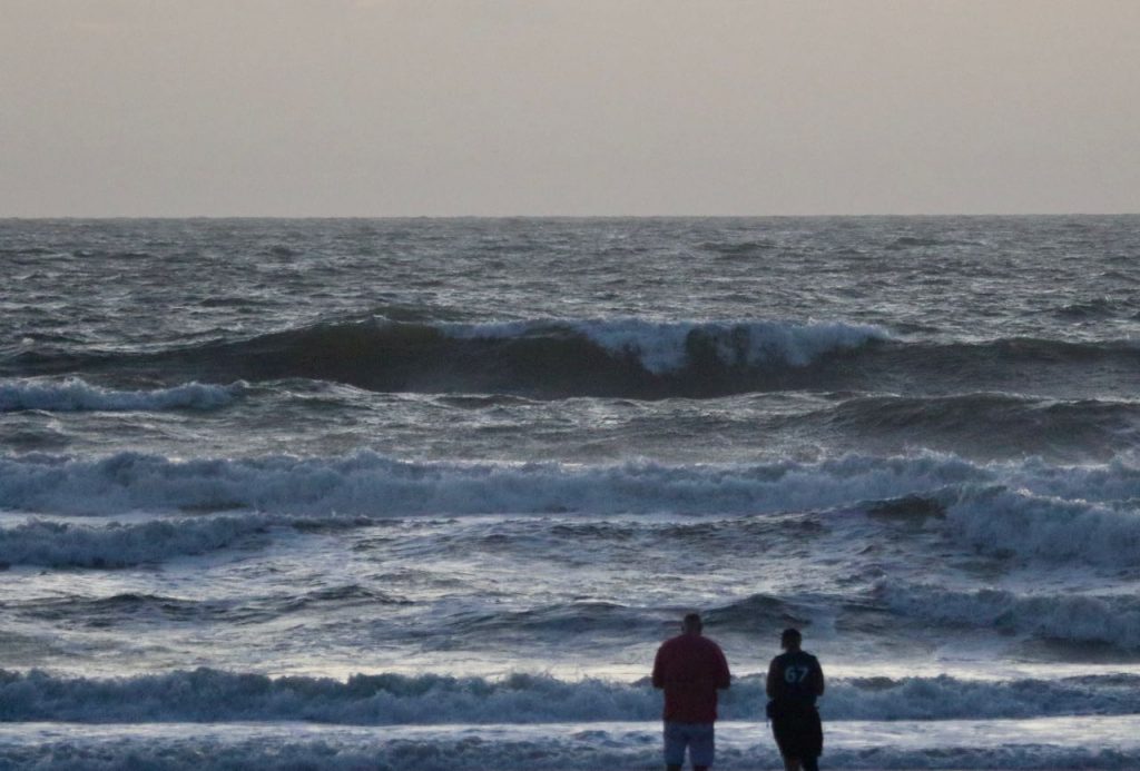
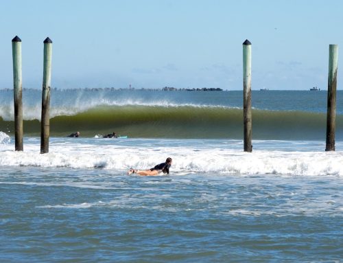
5:37 AM low -0.6 ft. 11:56 AM high 6.4 ft. 6:14 PM low -0.1 ft. Keep an eye on Hurricane Dorian and follow advisories from our local officials! No one is out at report time but it looks like the surf is in the head high +/- range with strong NE winds. With powerful Hurricane Dorian swell coming in, it’s NOT a day for beginners. Be safe, keep an eye on local weather authorities concerning Hurricane Dorian watches or warnings!
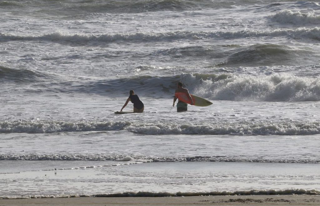
- It’s not a day for beginners or lessons!
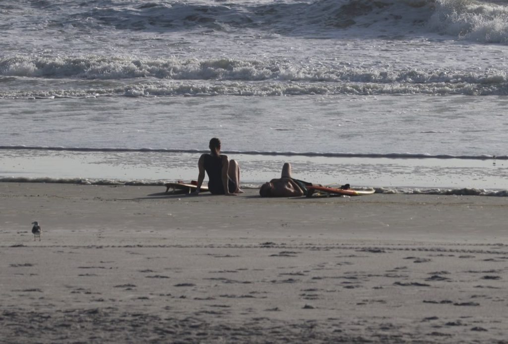
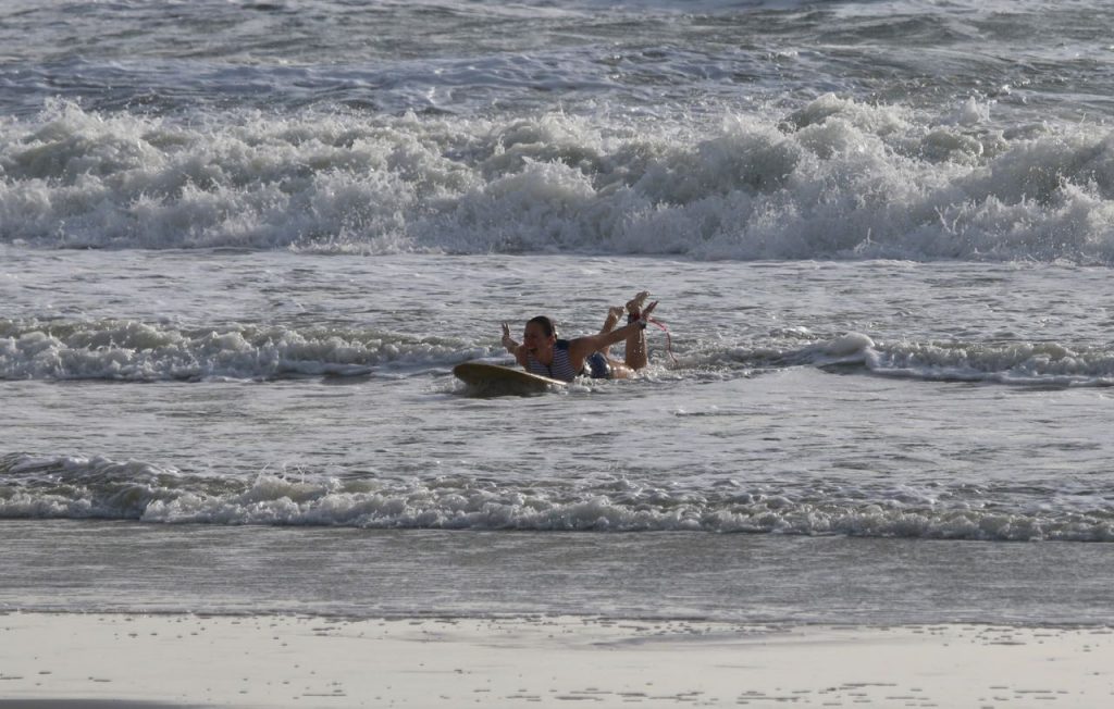
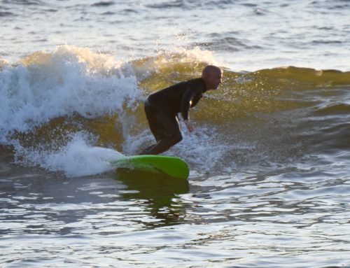
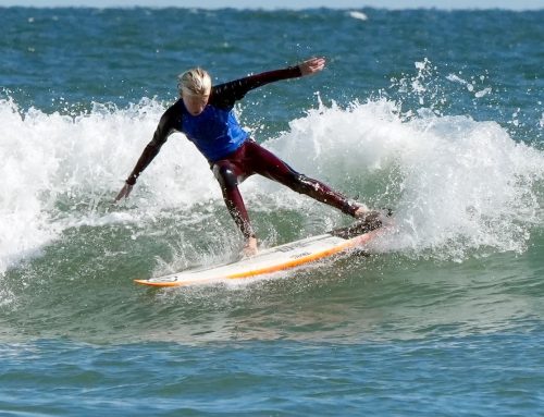
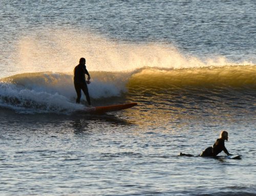
- Ok, best ride we have seen today, [so far]!
- Crystal Blue Persuasion
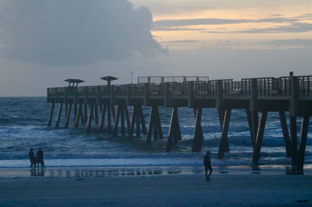
Report #1 – Tuesday – 6:50 AM – RATING 4 of 10
Today’s Tides
5:37 AM low -0.6 ft. 11:56 AM high 6.4 ft. 6:14 PM low -0.1 ft. Hello Friends, Hurricane Dorian is a storm to keep an eye on! No one is out at report time but it looks like the surf is in the head high +/- range with strong NE winds. With powerful Hurricane Dorian swell coming in, it’s NOT a day for beginners. Be safe, keep an eye on local weather authorities concerning Hurricane Dorian watches or warnings!
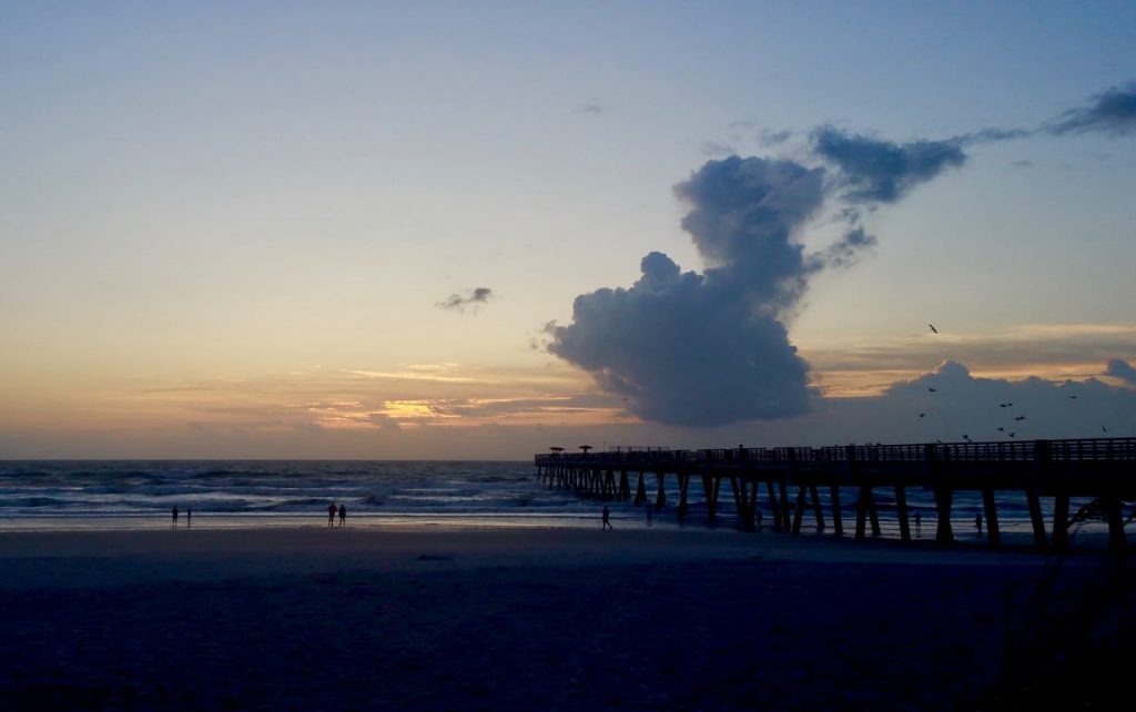
- 6:40 AM
- 7:00 AM
- Sunrise 7:03 AM
IN THE TROPICS
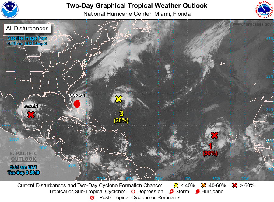
Peak Season is here, and the Tropics are alive with potential Storms popping up all over the Atlantic and GOMEX Basins, [the Peak should last over the next 6 to 8 weeks].
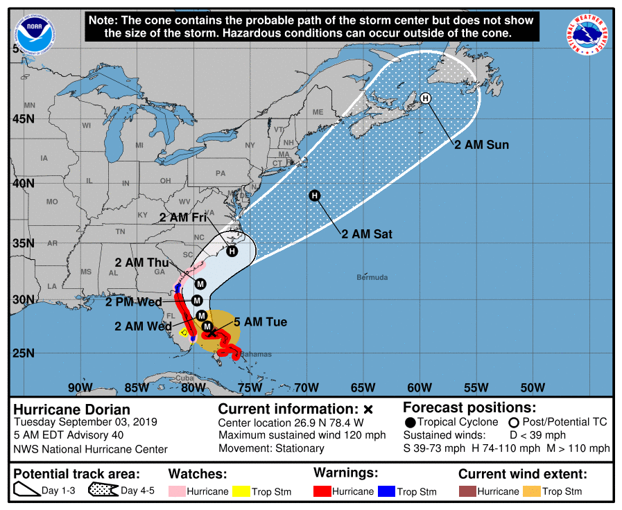
Hurricane Dorian is a dangerous and unpredictable storm.
Be safe and stay tuned to Weather Authorities for current information and Hurricane warnings! Click Image below for most current Tropical Weather Outlook.
T-Shirts, Stickers, & More!

