LEGAL QUESTIONS? ASK AN ATTORNEY
TODAY’S VIDEO UPDATE BELOW
Northeast Florida Beaches Are Now Open
BE SAFE – FOLLOW CDC ADVISORIES TO AVOID THE COVID-19 VIRUS
Today’s Tides
6:46 AM high 4.4 ft. 12:57 PM low 0.1 ft. 7:09 PM high 5.1 ft. Report 3 – 9:15 AM
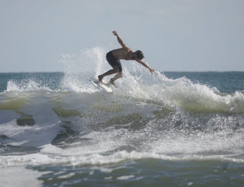
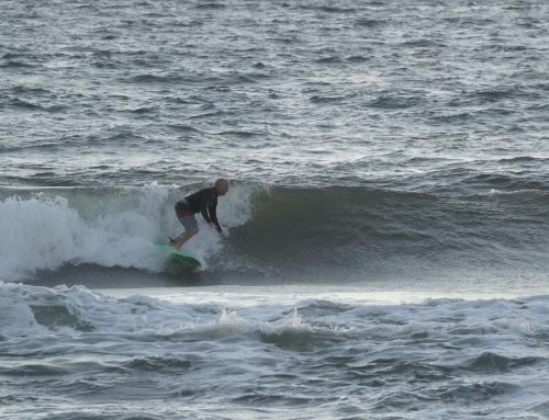
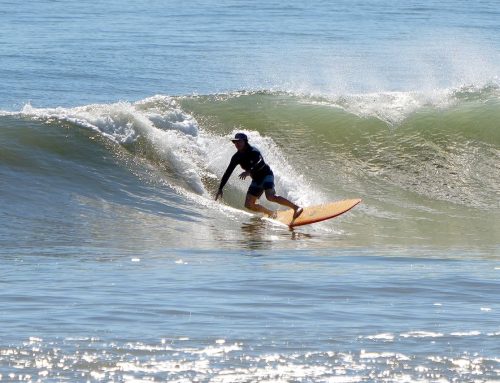
Good Middle Morning Tuesday! The tide is dropping and the groms are on it! We have smaller – leftover – TS Arthur Swell on our 3rd wave check of the day. It’s in the thigh high +/- range with light to moderate SW winds. (Pertaining to COVID-19 Click Here to see CDC Guidelines).
- Gromzilla Action!
Northeast Florida Beaches Are Now Open
BE SAFE – FOLLOW CDC ADVISORIES TO AVOID THE COVID-19 VIRUS
Today’s Tides
6:46 AM high 4.4 ft. 12:57 PM low 0.1 ft. 7:09 PM high 5.1 ft. Report 2 – 8:15 AM
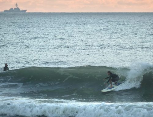
Good Morning Tuesday! We have smaller – leftover – TS Arthur Swell on our 2nd wave check of the day. It’s in the thigh to waist high range with light to moderate SW winds. It’s still pretty mushy with the high tide effect, check back for updates! (Pertaining to COVID-19 Click Here to see CDC Guidelines).
Northeast Florida Beaches Are Now Open
BE SAFE – FOLLOW CDC ADVISORIES TO AVOID THE COVID-19 VIRUS
Today’s Tides
6:46 AM high 4.4 ft. 12:57 PM low 0.1 ft. 7:09 PM high 5.1 ft. Report 1 – 6:20 AM
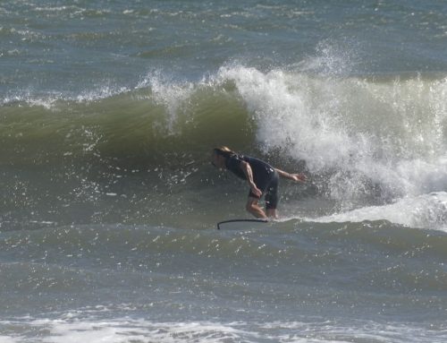
Good Morning Tuesday! We have smaller – leftover – TS Arthur Swell on our first wave check of the day. It’s in the thigh to waist high range with light SW winds. It’s pretty mushy with the high tide effect, check back for updates! (Pertaining to COVID-19 Click Here to see CDC Guidelines).
- 6:20 AM
- Sunrise 6:29 AM
Early Season Tropics Watch
Tropical Storm Arthur is forecast to make a U-Turn! There is no threat to Florida or the East Coast as he’s forecast to remain offshore, looking at the projected path we may end up with a pretty good week of waves. Be safe, know your limits, and keep an eye on the Tropics!
- The Rebound Swell is on!
- May 19, 2020

