


LEGAL AND ACCOUNTING QUESTIONS?


VIEW OUR MOST RECENT VIDEO UPDATE BELOW
FOLLOW COVID-19 ADVISORIES
CLICK HERE FOR FREQUENTLY ASKED QUESTIONS
Northeast Florida Beaches Are Open
Report 2 – 9:00 AM
Today’s Tides
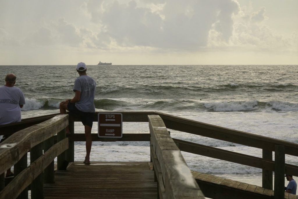
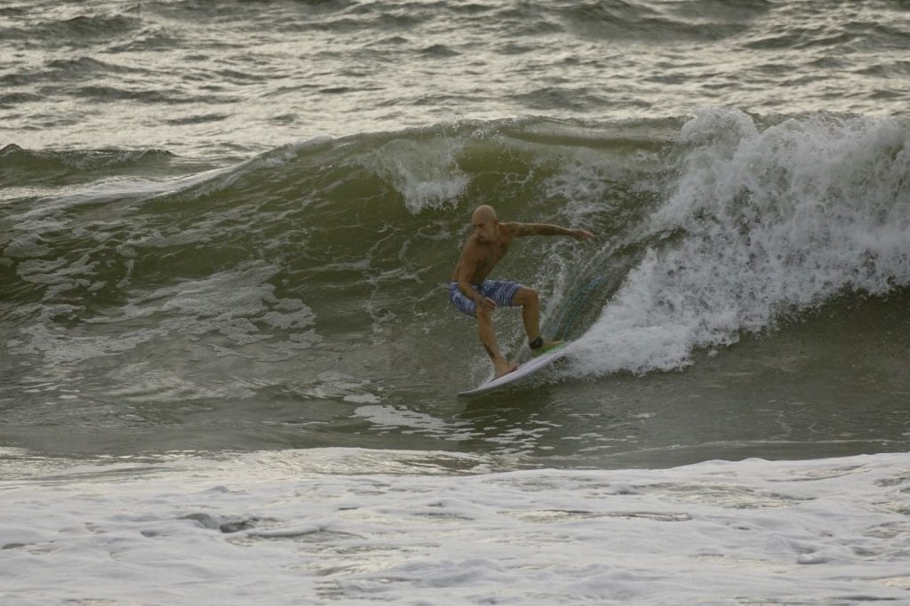
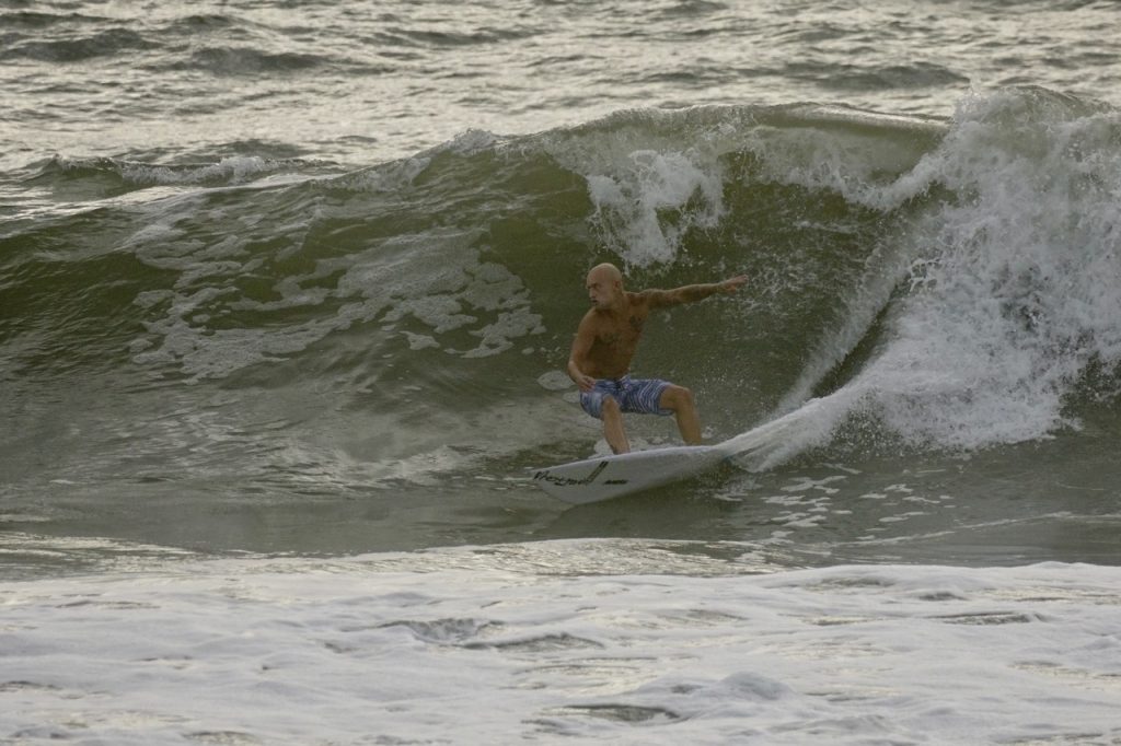
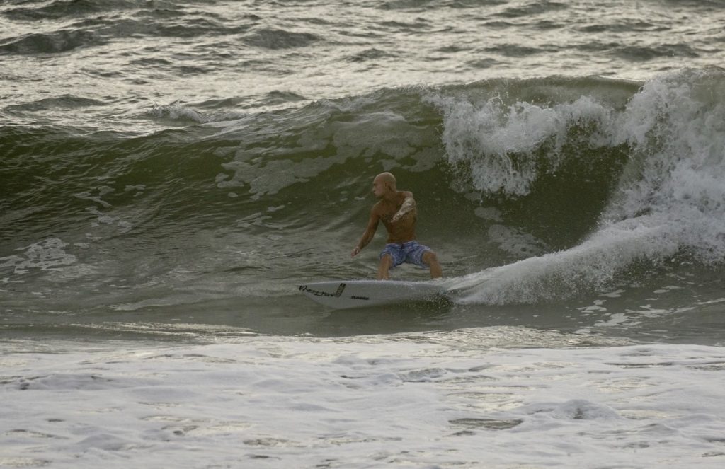
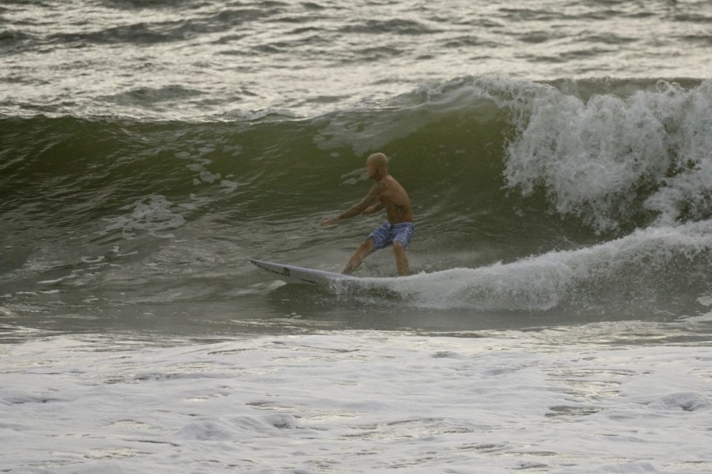
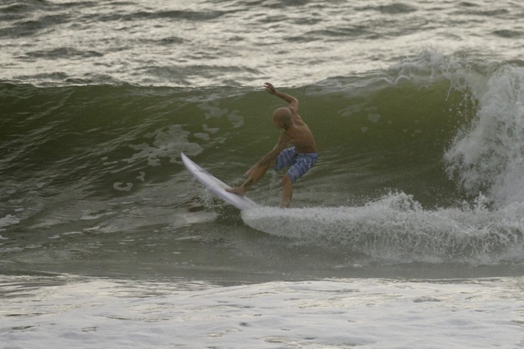
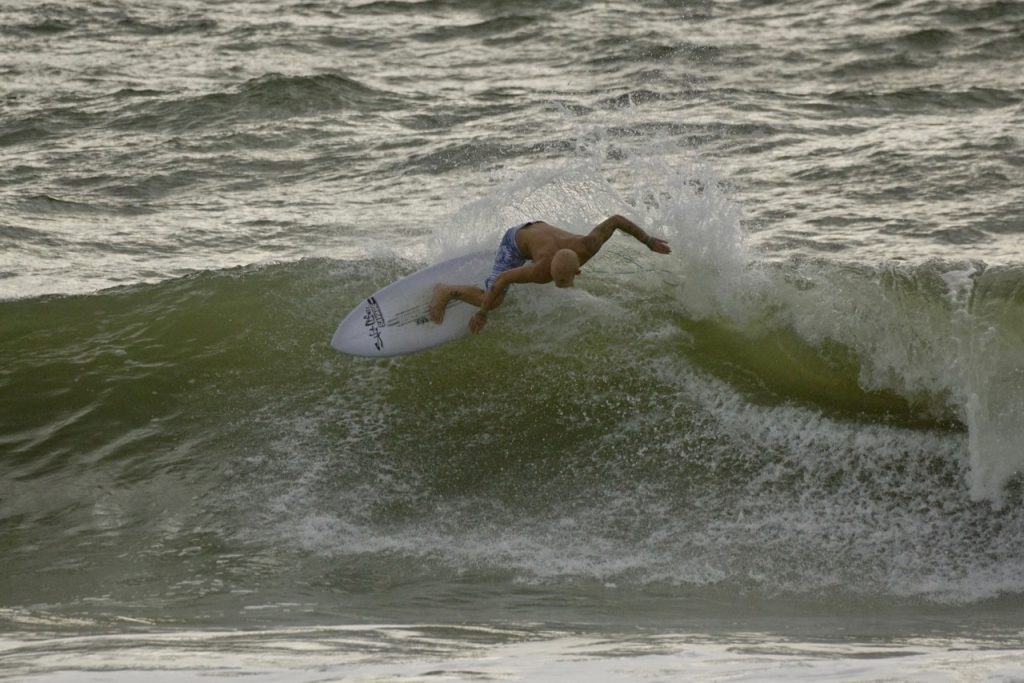
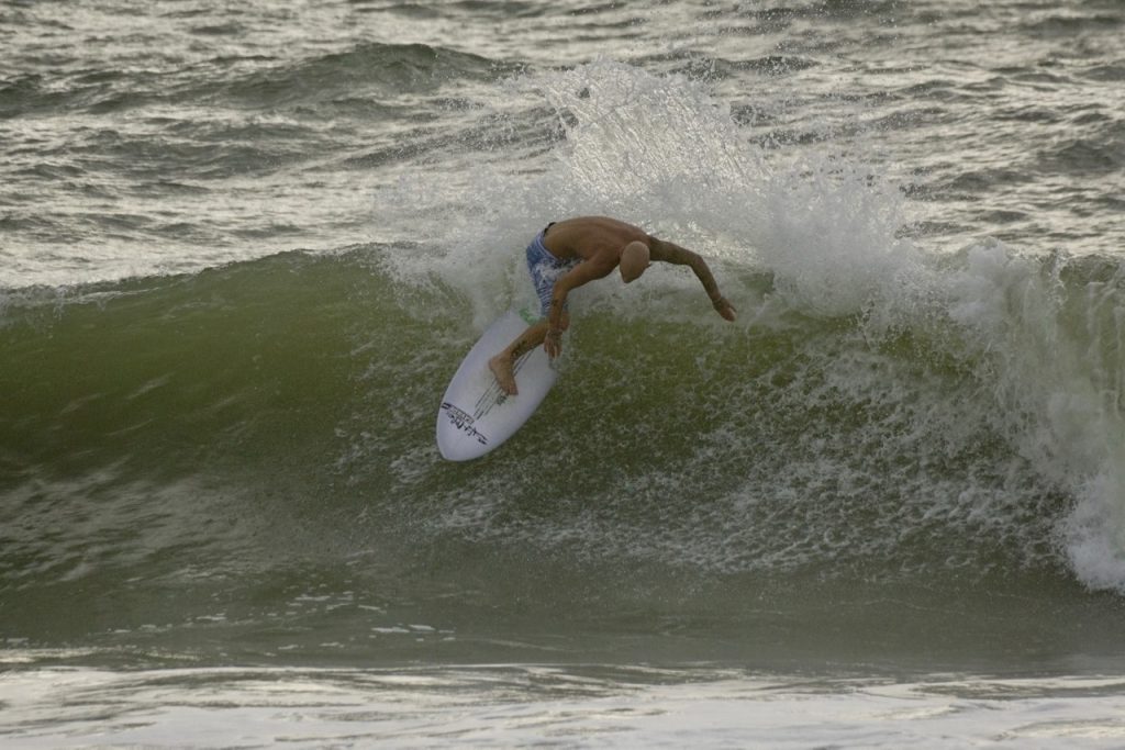
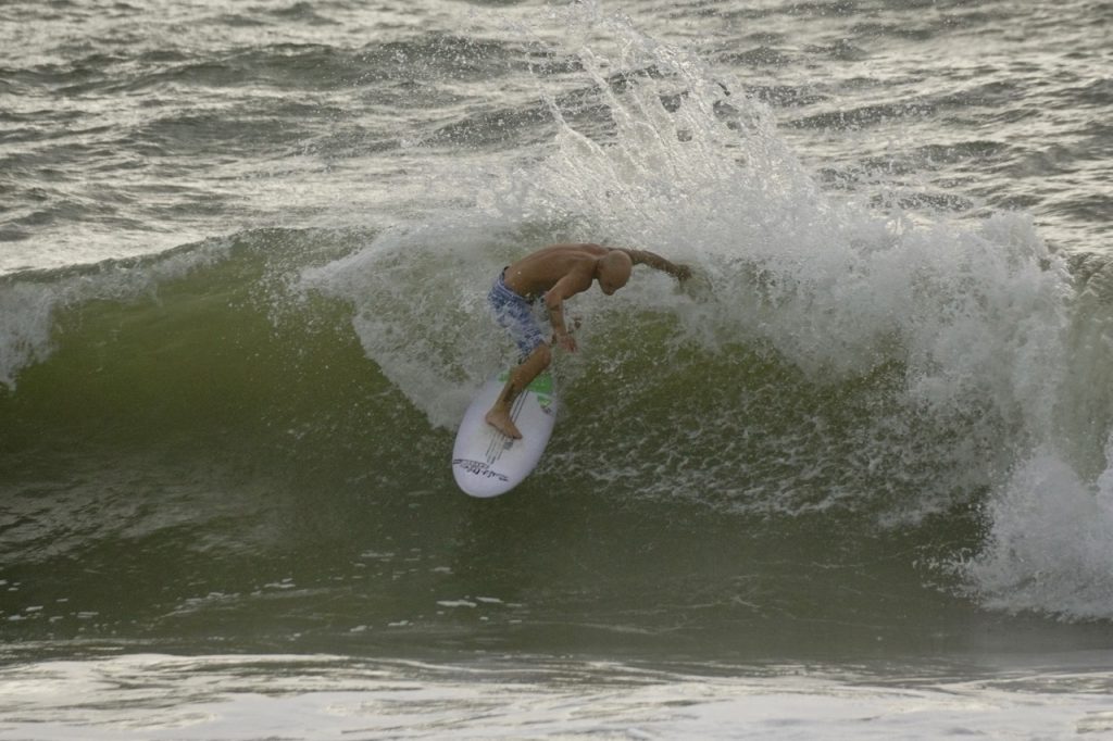
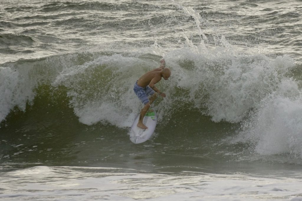
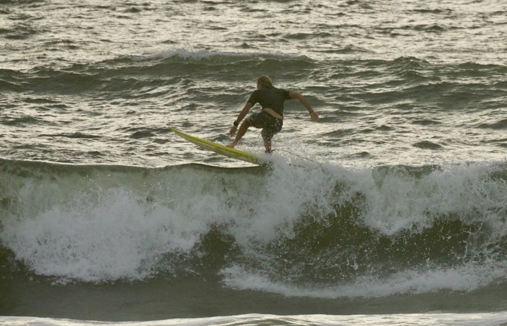
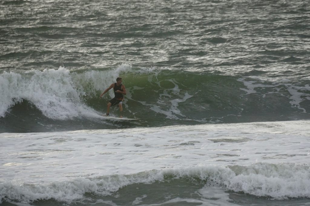
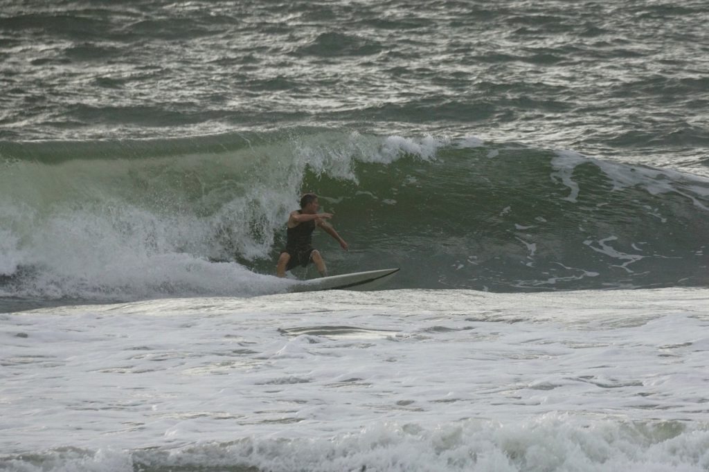
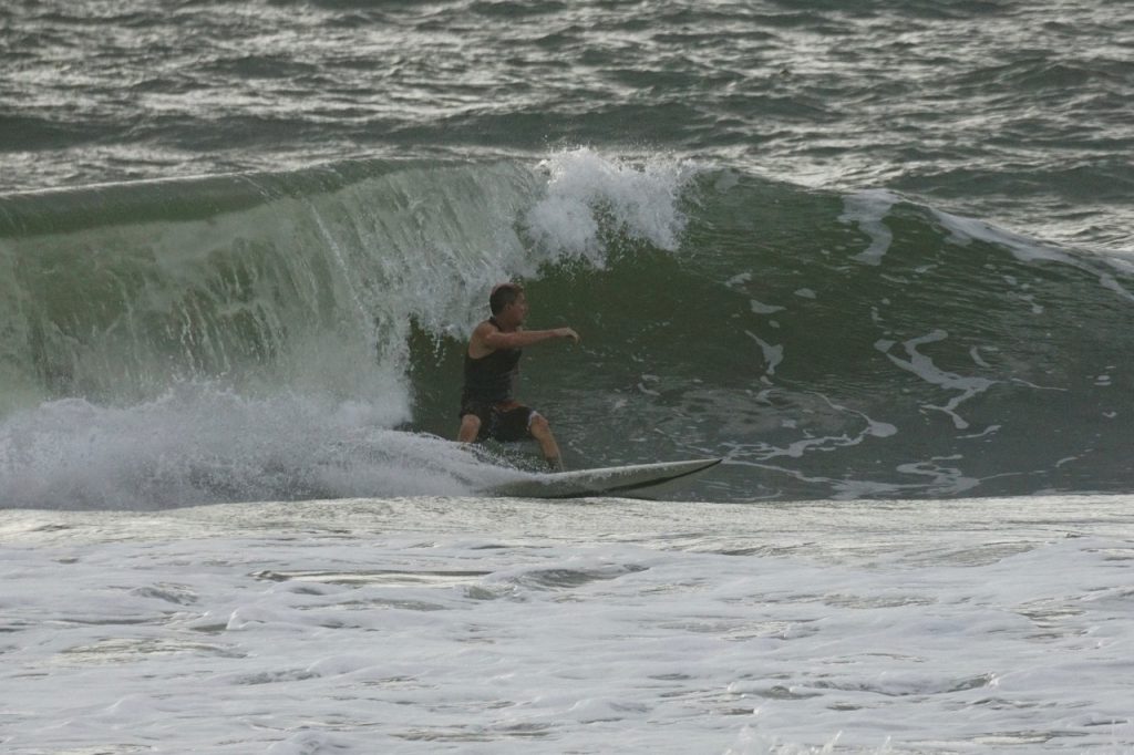
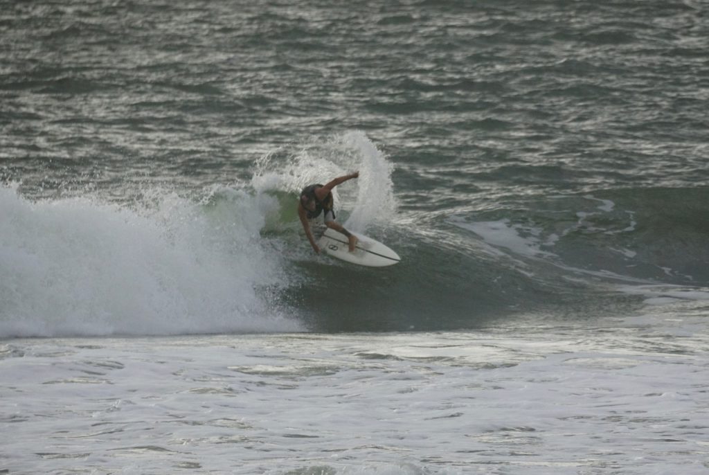
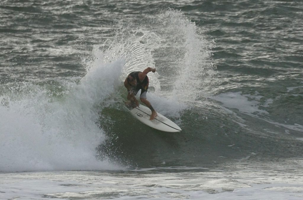
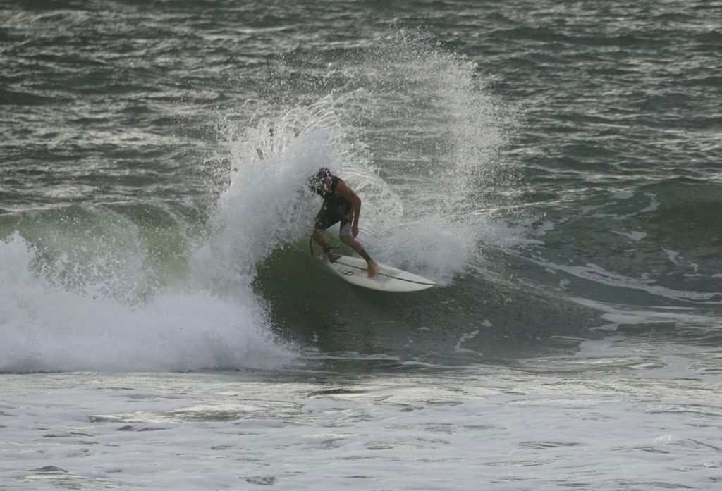
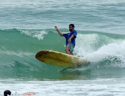
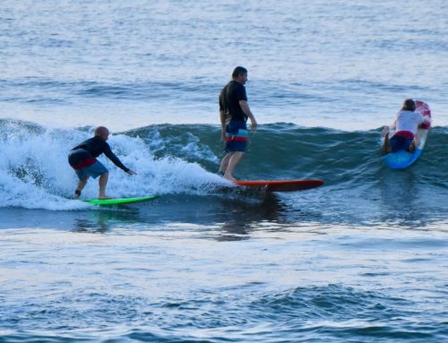
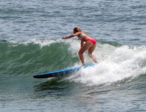
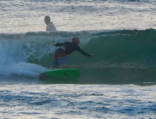
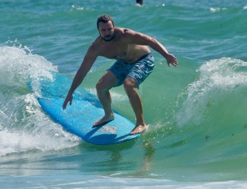
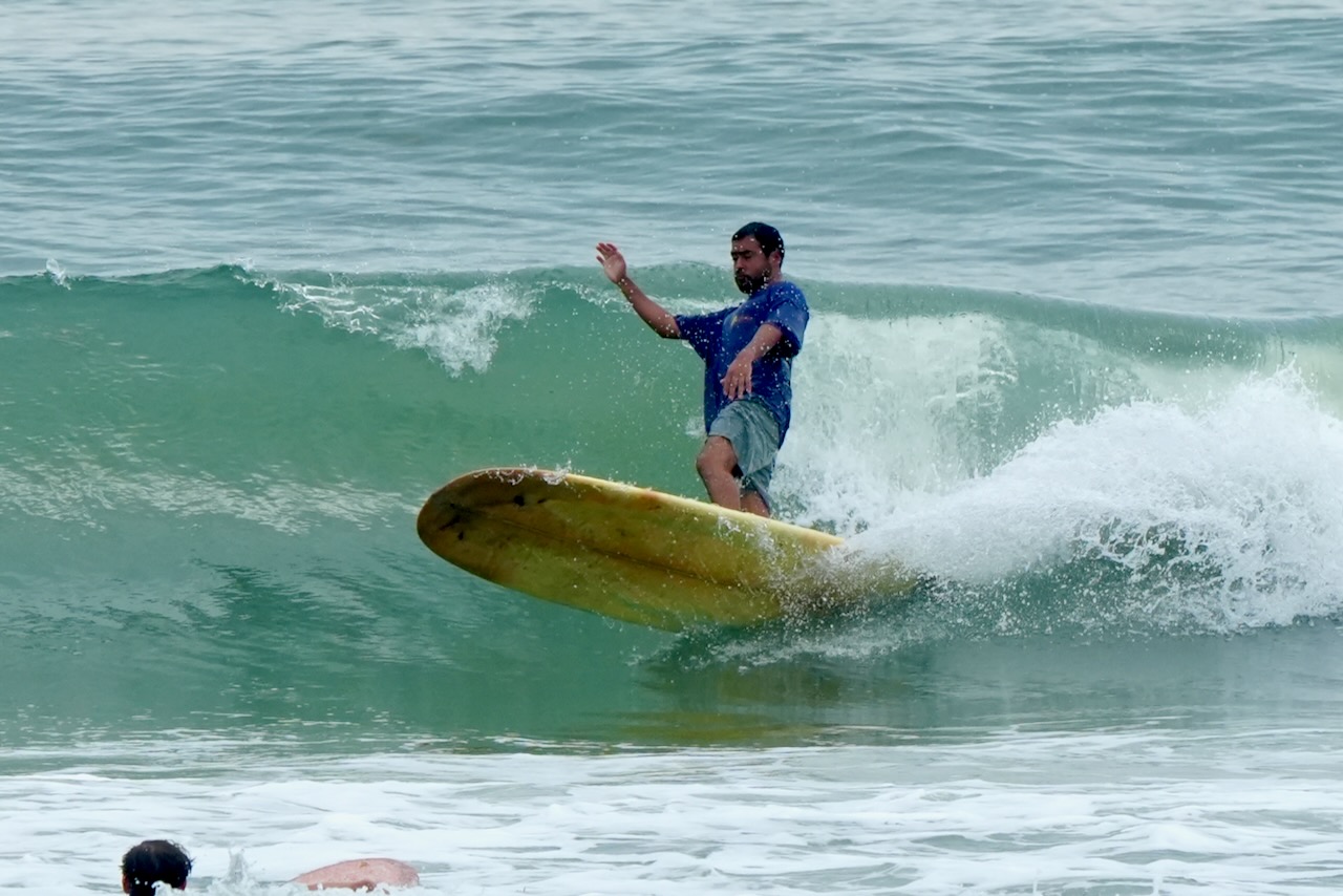
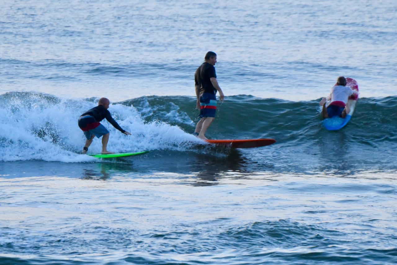
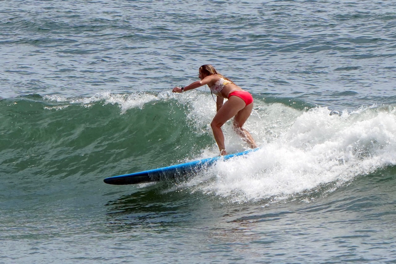
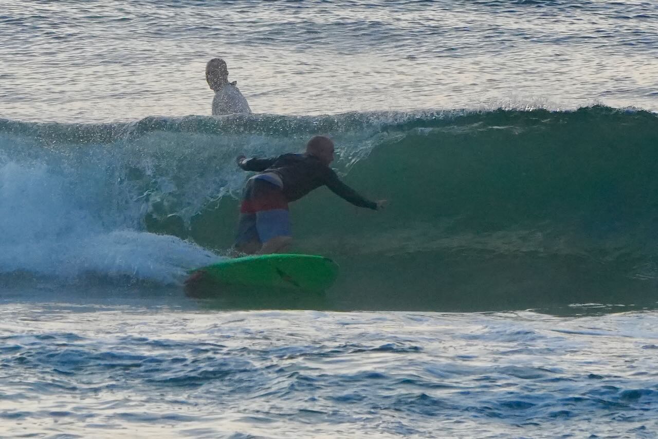
Low 12:00am 0.2ft High 5:53am 4.5ft Low 12:10pm -0.3ft High 6:25pm 5.5ft Good Middle Morning Friends! Our larger choppy surf continues. It’s in the chest to head high + range with lighter than expected Easterly winds. At report time, it’s rideable and looking fun, give it a look and check back for updates.
-
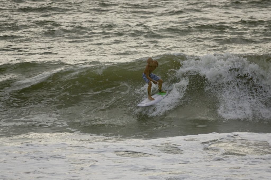
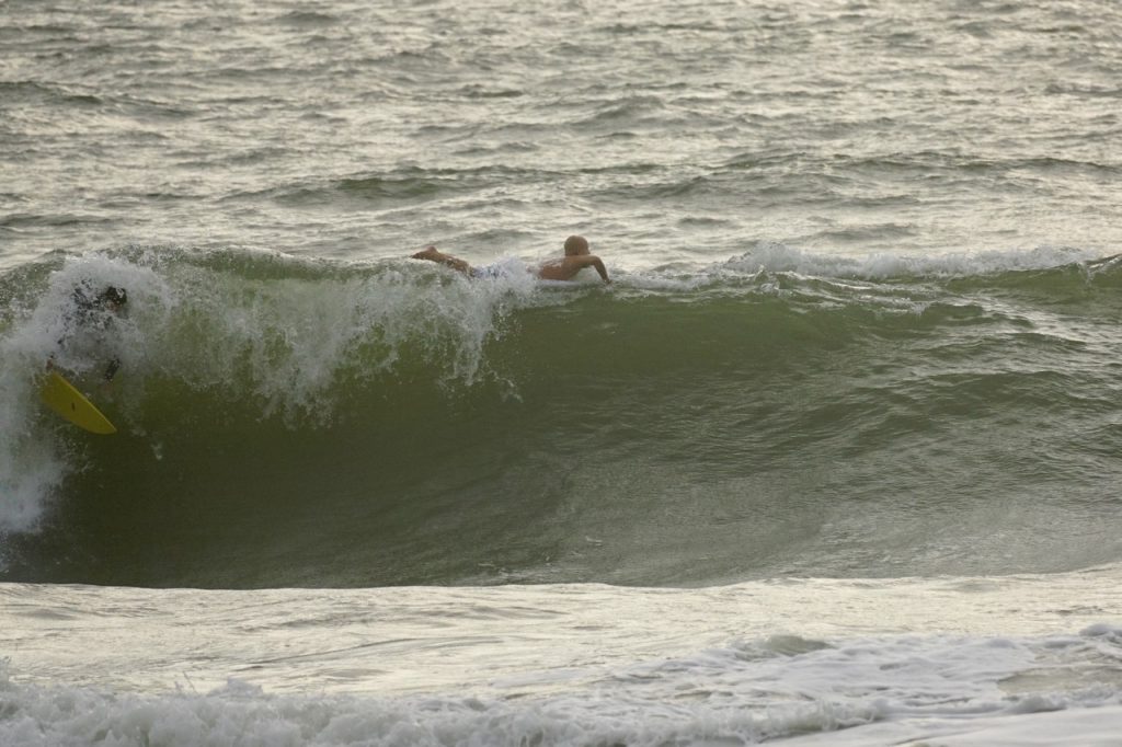
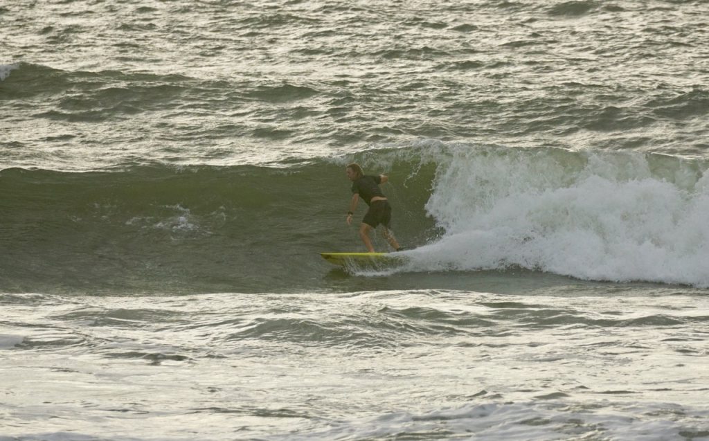
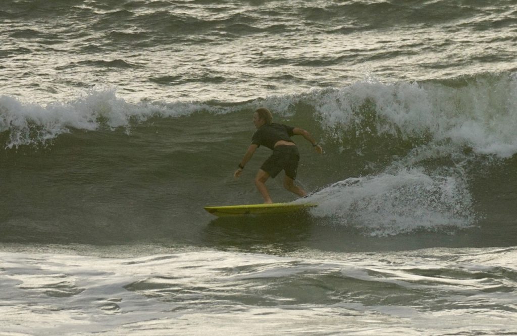
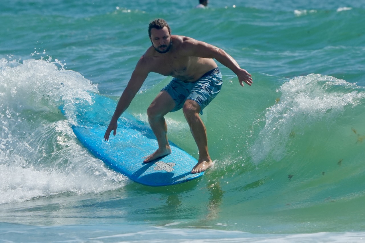
- Nice to see Josh Motes shredding a few this morning!


Coastal Hazard Message
National Weather Service Jacksonville FL
216 AM EDT Sat Sep 12 2020Coastal Nassau-Coastal Duval-Coastal St. Johns-Coastal Flagler- Coastal Glynn-Coastal Camden- 216 AM EDT Sat Sep 12 2020
HIGH RIP CURRENT RISK IN EFFECT FROM 8 AM EDT THIS MORNING THROUGH SUNDAY EVENING…
* WHAT…Dangerous rip currents expected. * WHERE…Southeast Georgia and Northeast Florida Beaches.
* WHEN…From 8 AM EDT this morning through Sunday evening. * IMPACTS…Rip currents can sweep even the best swimmers away from shore into deeper water.
PRECAUTIONARY/PREPAREDNESS ACTIONS… Swim near a lifeguard. If caught in a rip current, relax and float. Don`t swim against the current. If able, swim in a direction following the shoreline. If unable to escape, face the shore and call or wave for help.
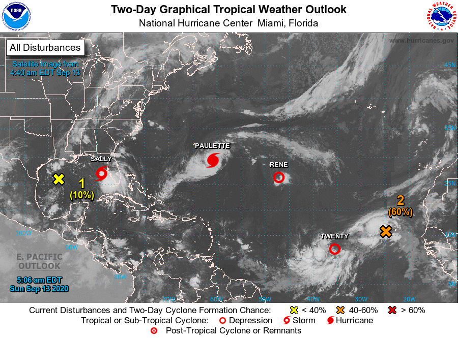
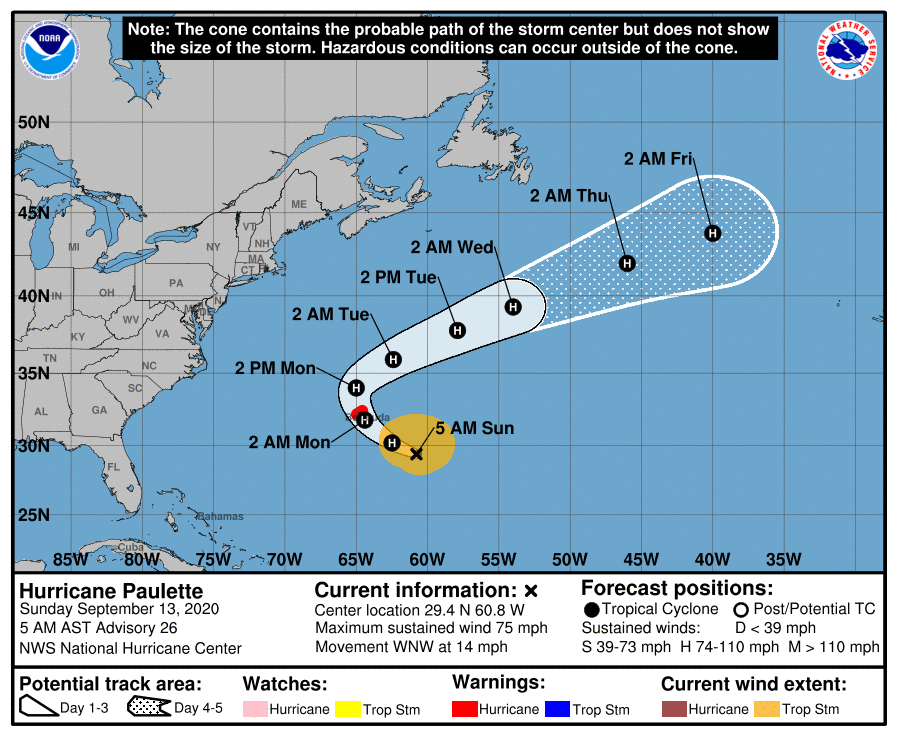
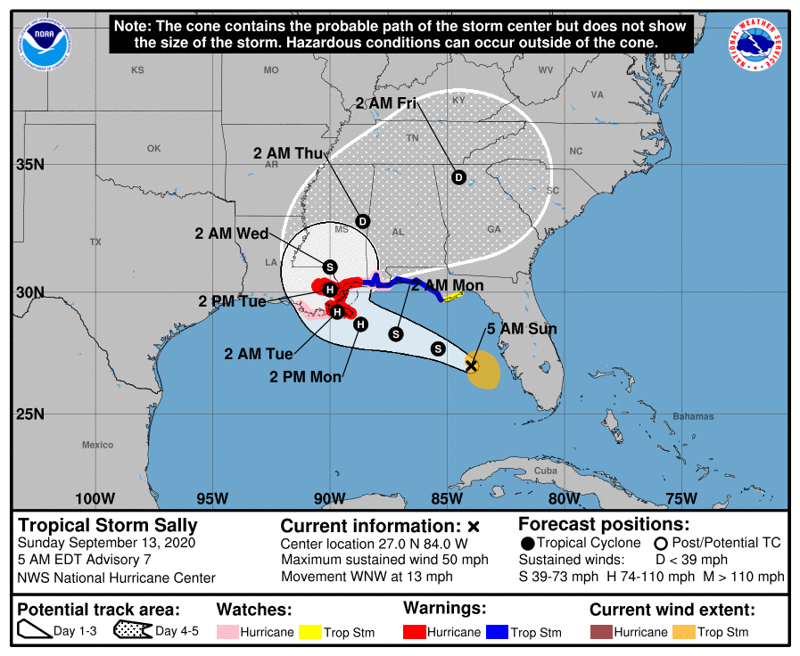
Tropics Watch 2020
Keep an eye on the Tropics – Click image link below for current information.
When it comes to Tropical Storm Season, Mother Nature never lets us down. We are always discussing the next storm during late August through September. For surfers, it’s usually a good thing as long as the Storms don’t hit land. Let’s hope for minimal destruction and firing surf in 2020!
Peak Season Is Now!
[instagram-feed]
Buy Custom T-Shirts Here!


Subscribe to Our YouTube Channel